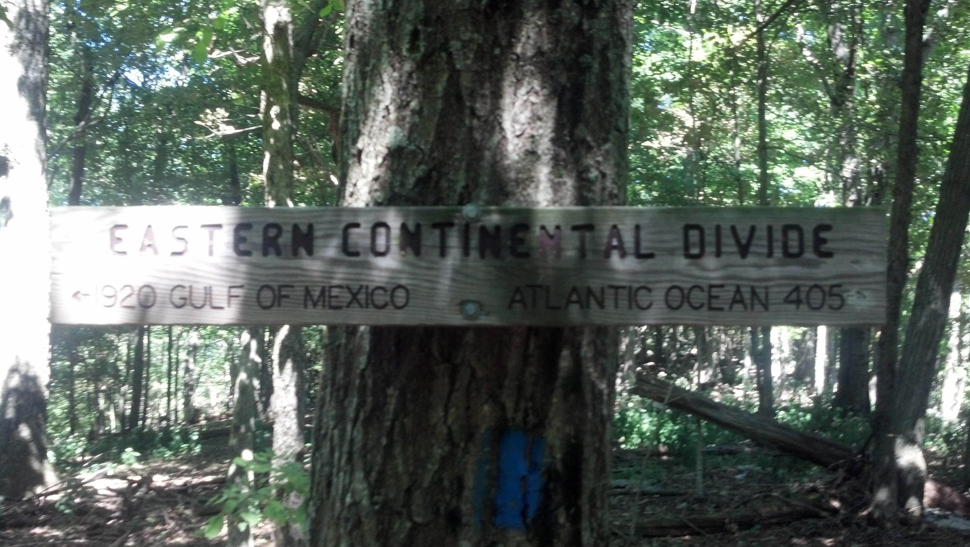
Day 87: Pickle Branch Shelter to Laurel Creek Shelter
Currently sitting at the picnic table...
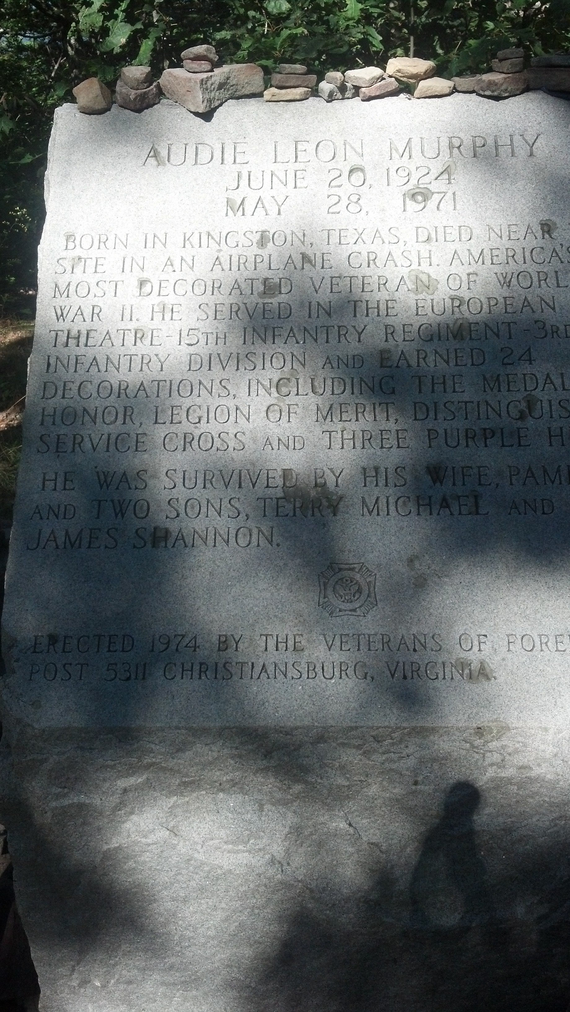
Rooster is flying solo again. Well, at least for a couple of days. My dad and I got up, had our coffee and breakfast, and got ready to leave. Brightside and DD headed out before us, planning on a longer day. We hiked the short, even grade down to VA 620. I paused to refill my water and, more importantly, to say goodbye to my dad. His shuttle would be coming in less than an hour, and I had my own miles to make. We had tried to make a plan to get me Taco Bell on his way back home, but it seemed like too difficult of a navigation. Our tentative goodbye was tough, but it did feel good to be independent again for a bit. The climb up Brush Mountain was gradual and the weather was cool, so I was able to cruise through the 3.5 miles to the Audie Murphy monument. He was the most decorated American soldier of WWII, and his plane crashed near that spot. I paused for a bit but headed back down. While I had service, I texted my dad to see if he made his shuttle. As I headed down the mountain, I got a call from my dad. He was headed to Taco Bell, so I decided I would park my butt at the next road crossing. I was a happy camper. He brought my food as well as the snacks I hadn't eaten before our hike. I cleaned them all out, surprised at my capacity after several shorter days.
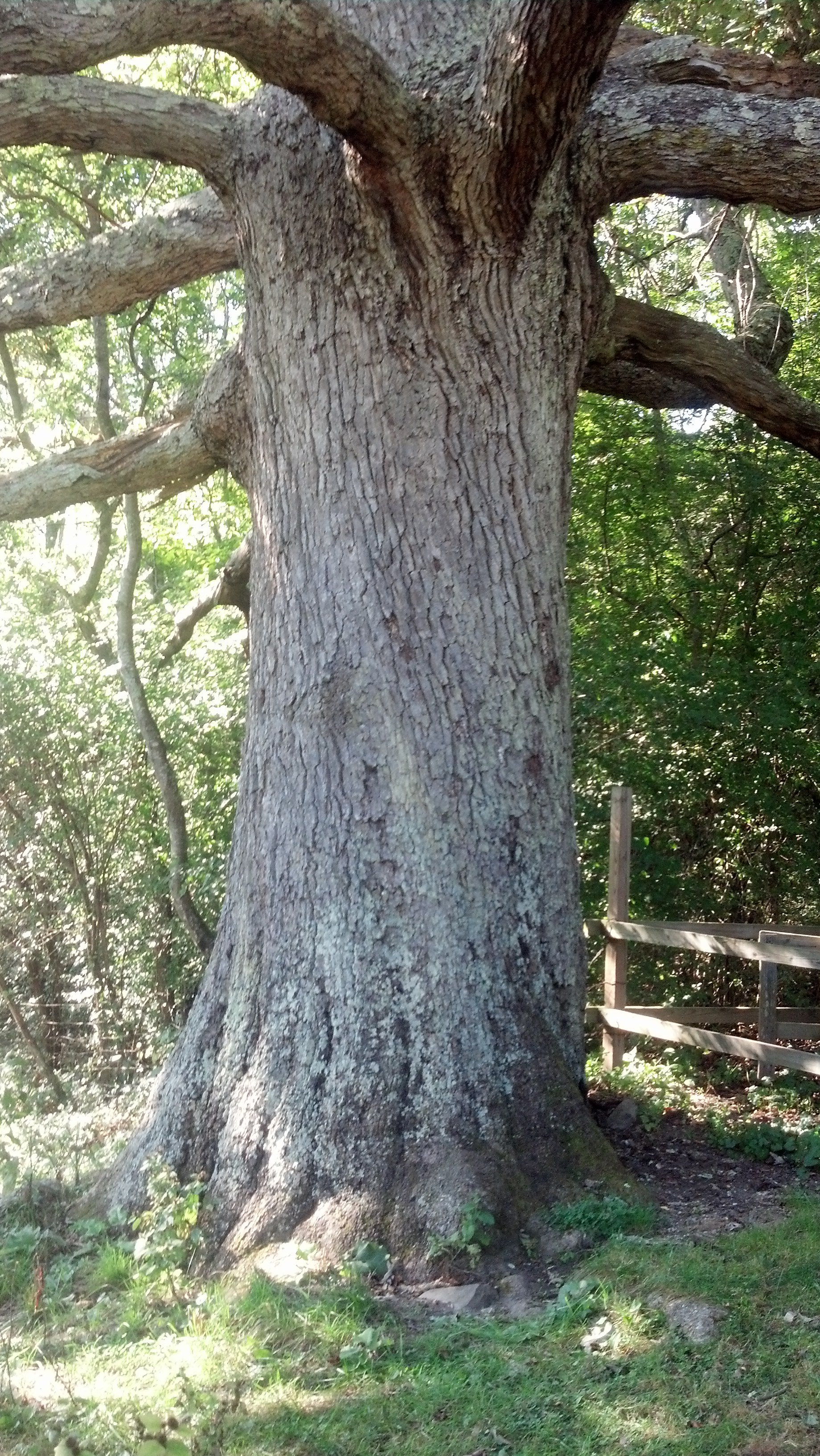
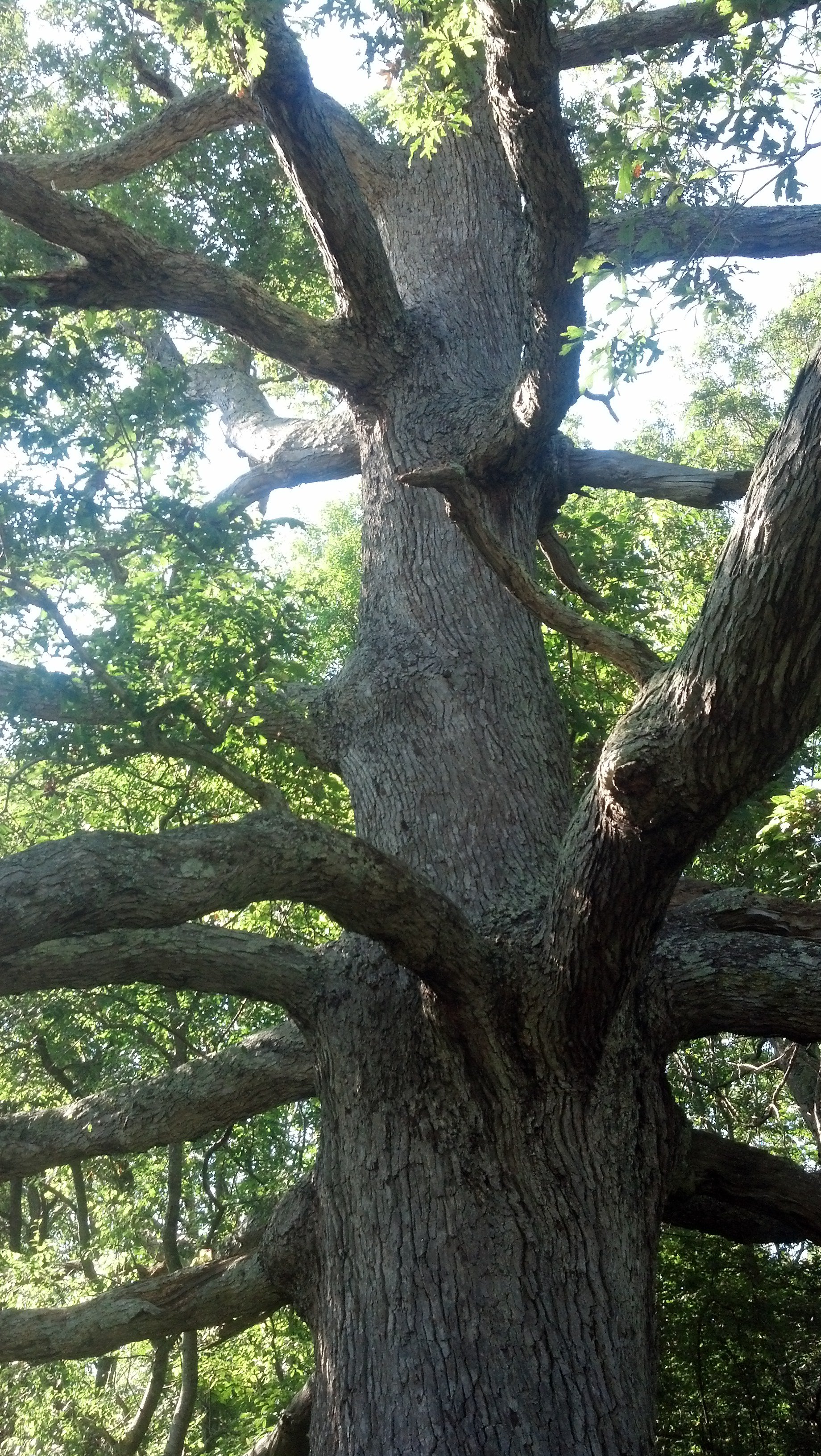
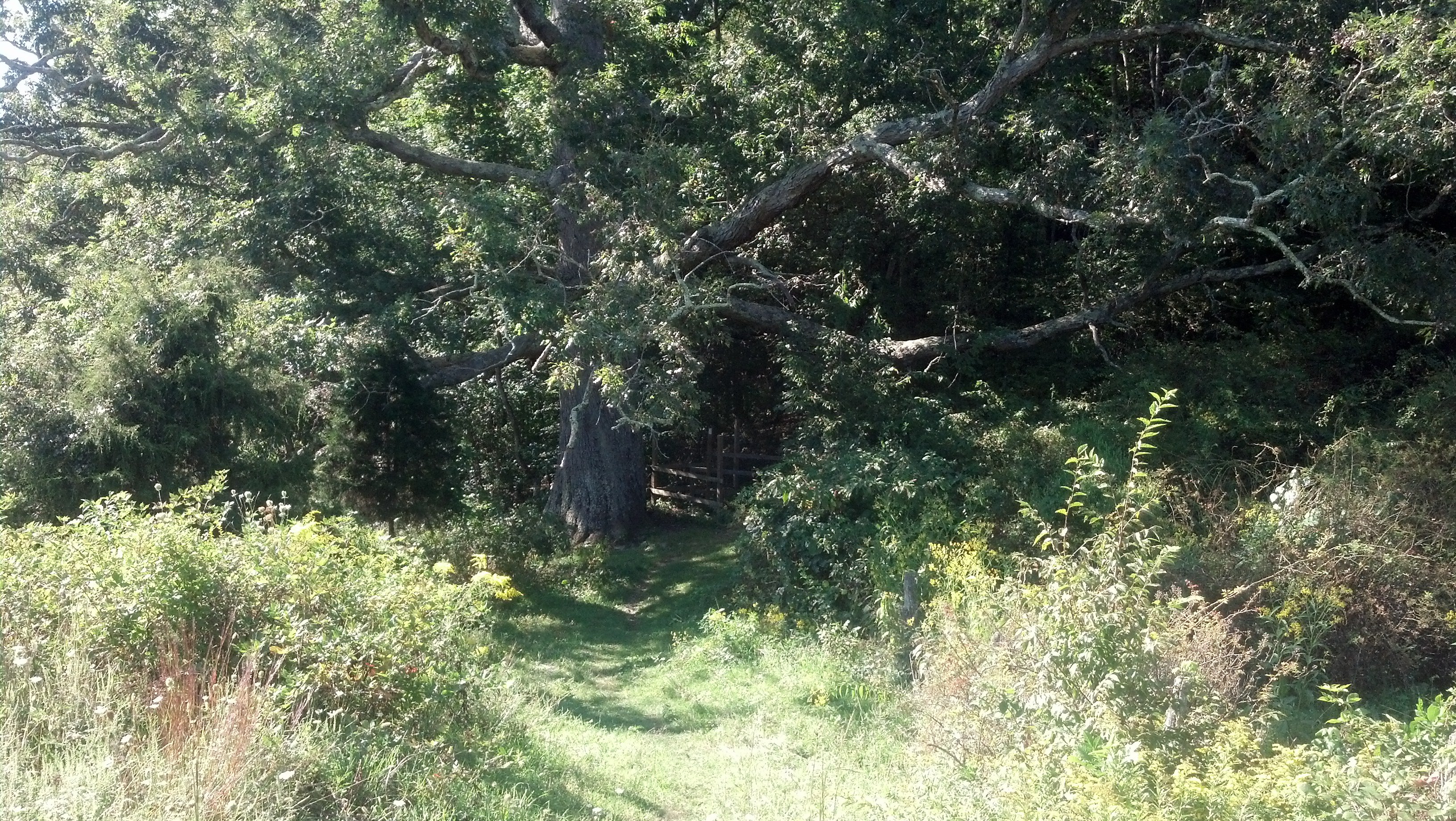
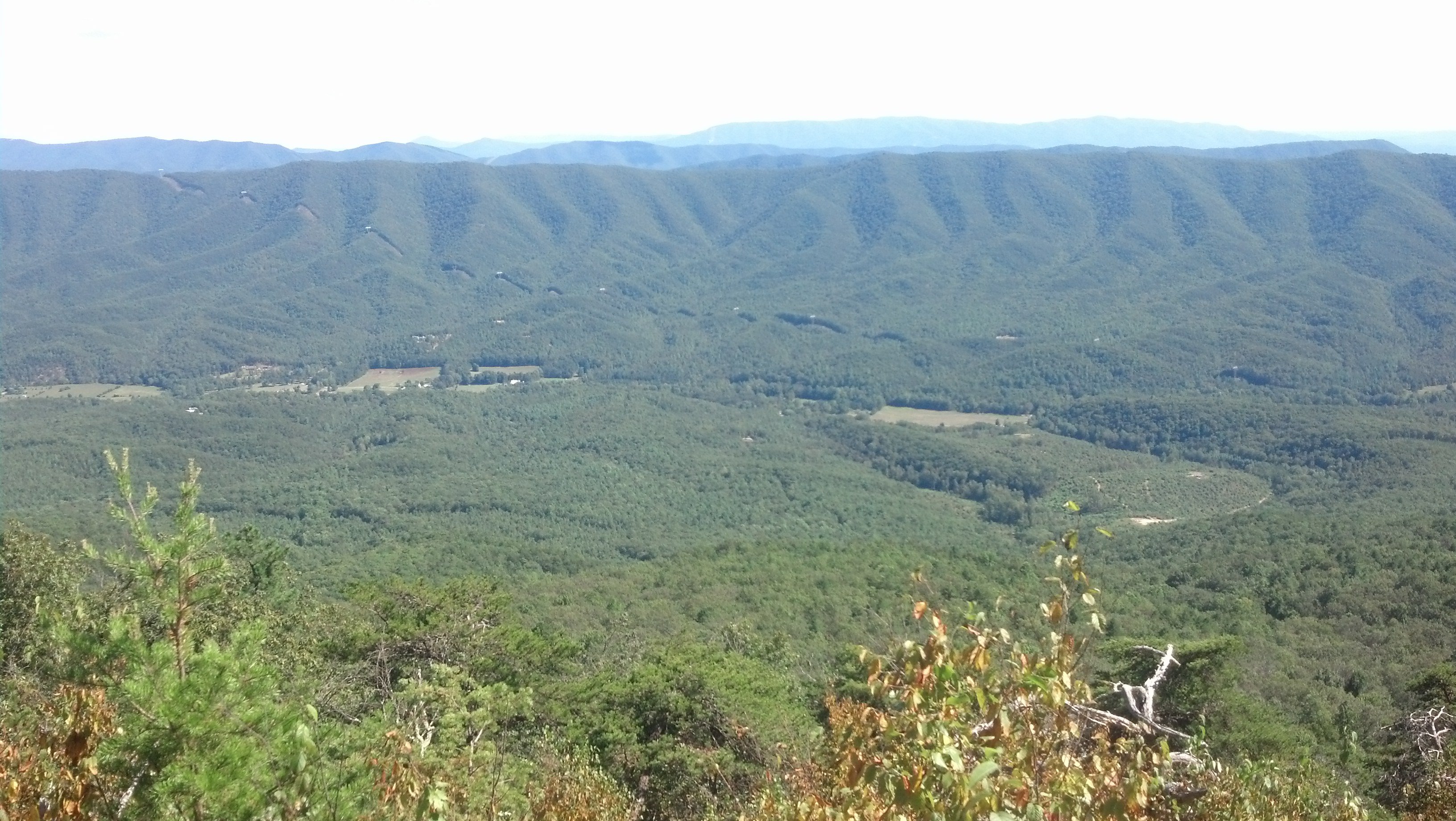
My dad and I said goodbye for real this time, and I sped up the mountain, powered by sugar. I was really feeling it, so I pushed up to the top of the ridge with relative ease. What awaited me was an unfortunate walk along slanted rocks that afforded good views of the valley below, but the walking was a little annoying. That's what is difficult about this stretch of Virginia. The elevation profile shows a ridge, but that could be smooth walking or rock hopping. It makes it tough to plan out your day because your speed can vary on flat terrain. After the slanted rocks, the trail relented and granted me a flat walk again. I headed past the next shelter, and dropped down the ridge into a shallow valley. Once down in the pastures, I stopped at the Keiffer Oak, the largest tree on the trail in the south. Apparently I missed the biggest tree on the whole trail, who lives in New York. The tree and I chilled for a minute before I pressed on, anxious to get home for the night. The remainder of my hike was mostly through farmland, which I really enjoyed in the afternoon sun. Somehow, there was an extremely swampy section in a pasture, and my feet got soaked. I cursed the trail, wondering how it could deprive us of water to drink, only to soak our feet in the stuff. Now I was really ready to get to the shelter. I kept having to climb over fence stiles, an activity I used to find quaint but that I now find to be a nuisance. I'm not very graceful on these things. One last uphill stretch brought me to Laurel Creek Shelter, where I was happy to see Brightside and DD sitting at the picnic table. I love company, especially when it's people I get along with so easily. We ate and laughed about the water on the trail until the sun set over the ridge and I finally decided it was time to journal. I'm wearing a headlamp to write for you people!