Day 95: Trimpi Shelter to Thomas Knob Shelter
Currently sitting at the picnic table...
I feel like I'm in New Hampshire! This shelter is over a mile high. The first part of the day was the typical Virginia green tunnel. I started off in the dark again, wearing my gloves to keep my hands warm and to wipe my snot. I looked at the elevation profile for the day and saw a lot of climbing, but as usual it ended up being pretty tame. I stopped at Hurricane Mountain Shelter to refill water and to gorge myself on snacks. I think I ate too much sugar without enough protein because I got that jittery feeling again. It might have also been because I had eaten instant coffee powder and made a Crystal Light energy drink. I stopped at the next shelter and ate some peanut butter to compensate, which seemed to help. Since there were three shelters between my starting and ending shelters, I had a lot of stops today. I wrote in four shelter logs! Jeez. Anyways, the gentle climbing made the first 20 miles fly by. I was at Wise Shelter before 2 PM. I kept a close eye on my pack because I heard that a bear took some guy's pack while he used the privy.
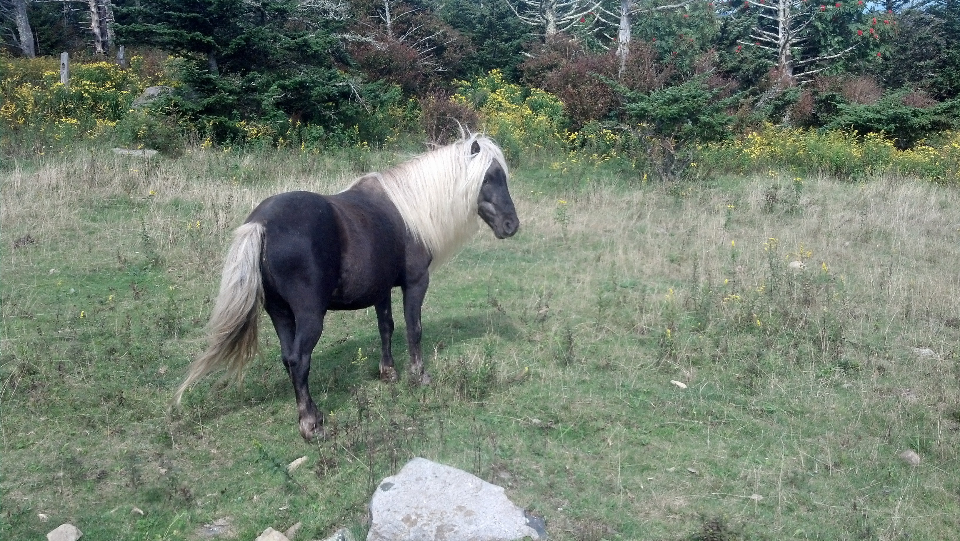
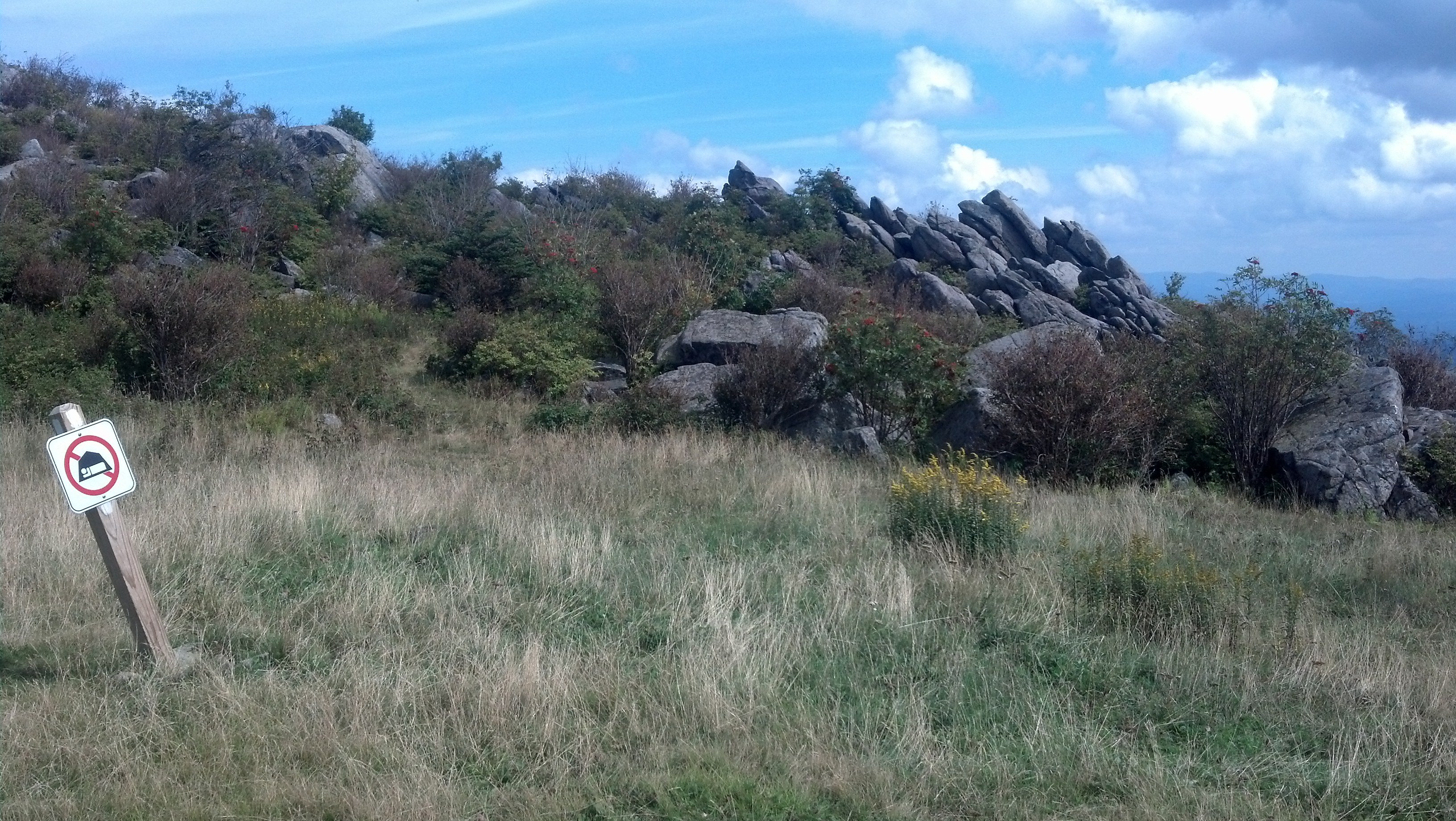
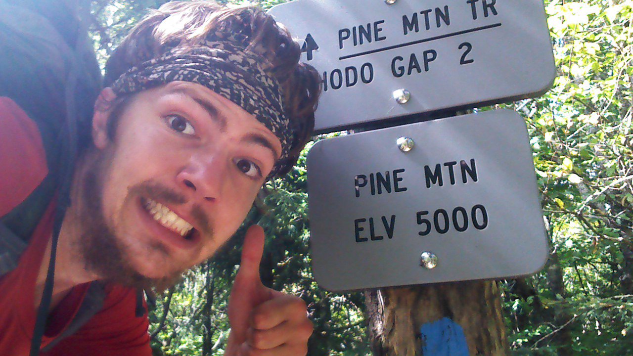
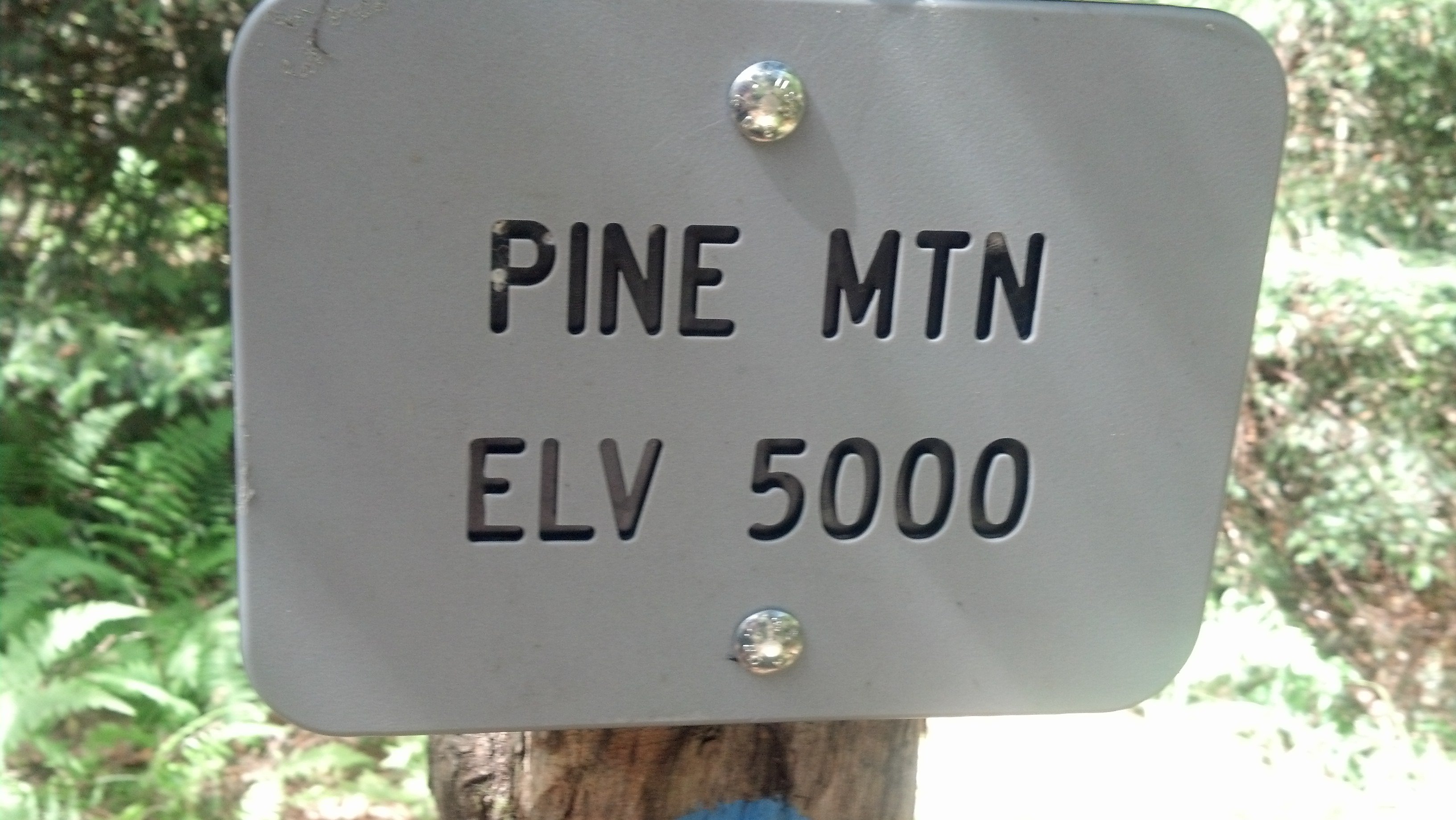
After heading out into my last five miles, I entered Grayson Highlands State Park. I had heard there were wild ponies up there, but I didn't know much else. I kept crossing through gates that were designed to keep livestock in. But I didn't know which side of the fence the livestock belonged. There was poop everywhere. Soon I passed a livestock corral and I felt like I was in the wild west. The trees disappeared at the high elevation, and what was left was mostly scrub bushes. I could have sworn I was in California. Also, my AT Guide started messing up all the mileages, so I just enjoyed the scenery. I climbed up even higher, over 5000 feet. I really enjoyed all the views of the mountains in the distance without trees in the way. Soon I saw the ponies I had heard about! One was even close by. I learned from the day hikers that his name was Fabio. He came up to my in search of food, but I was sorry to tell him that I didn't have any. It was still fun to pet a wild pony.
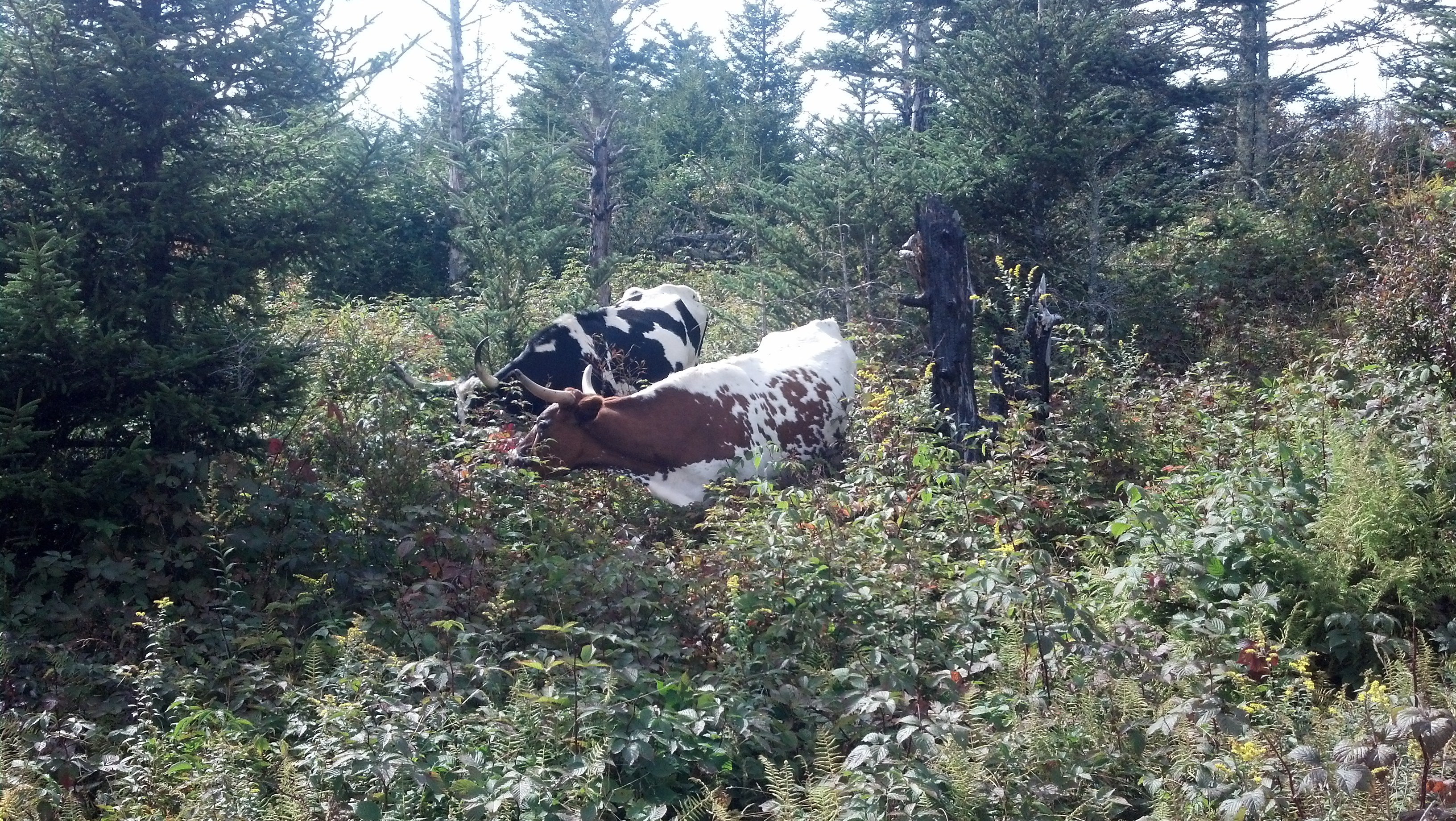
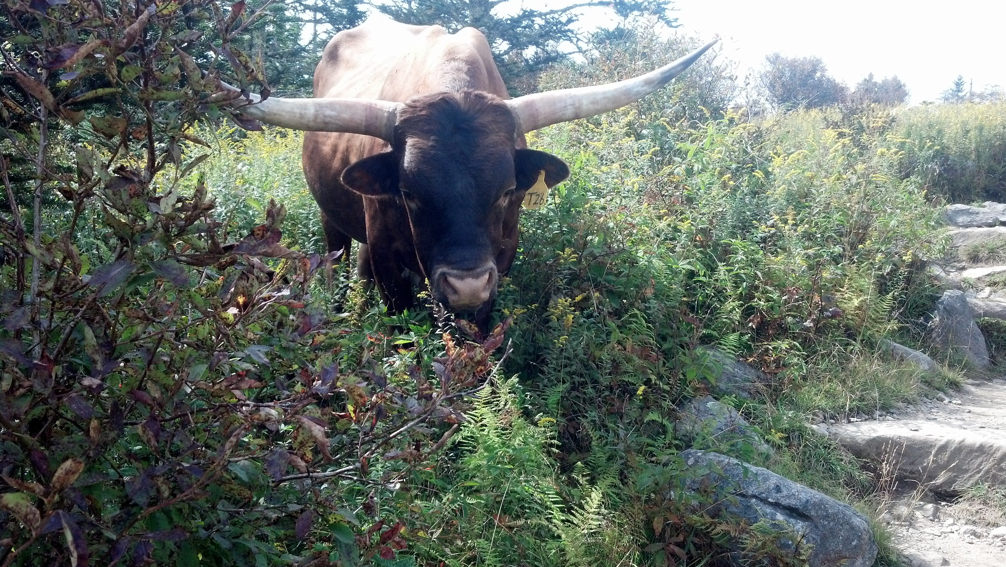
Within the next half-mile, I ran in to some big-horn steer grazing peacefully. One quickly picked his head up when I came close. The move looks aggressive, but I've learned that it's just their way of keeping watch. I gave them plenty of room and took pictures, like I do with everything.
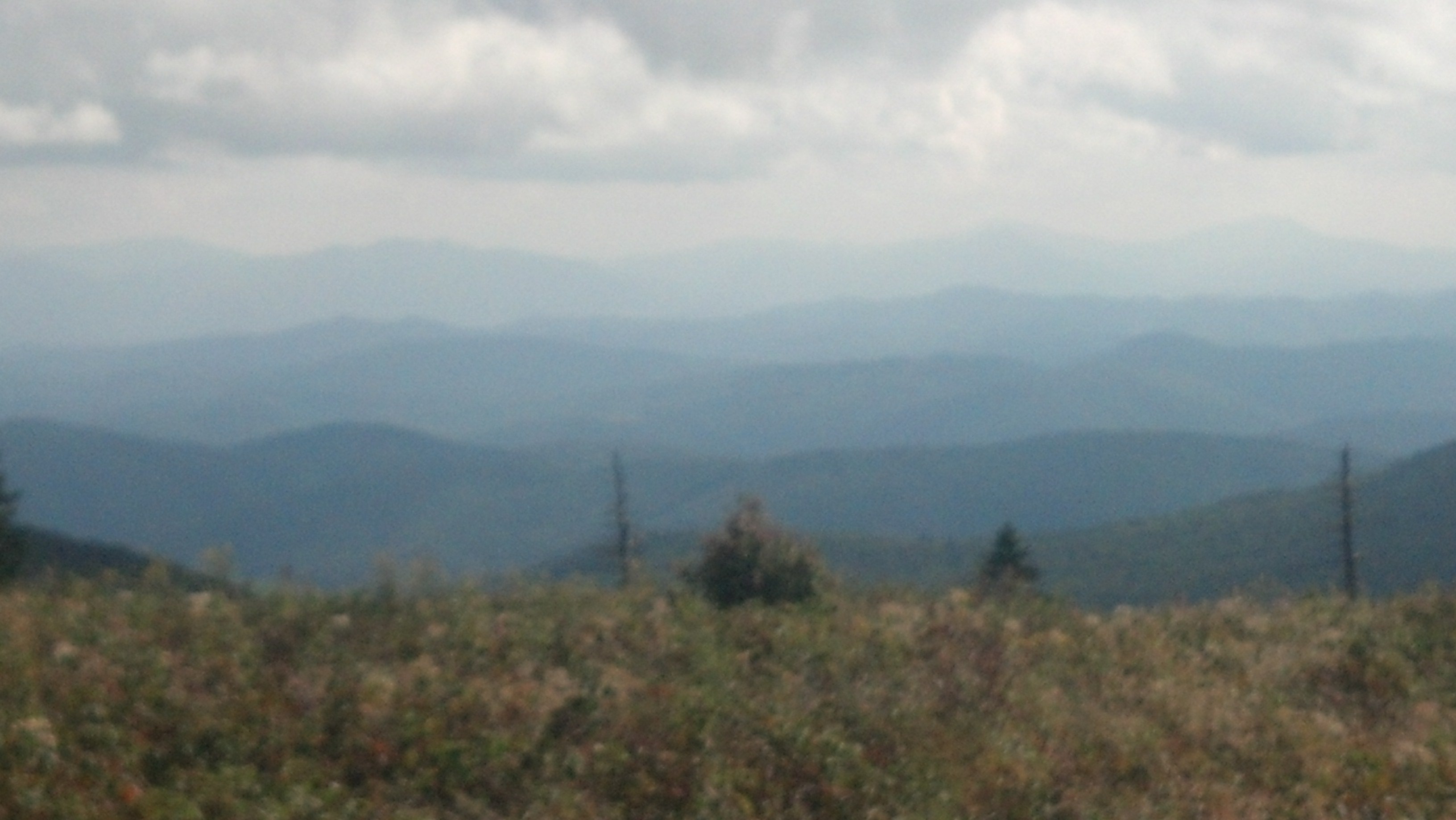
The rocks of the lowlands gave way to actual rock formations sticking out of the ground at high elevations. The terrain reminded me of my early days on the trail, back in Maine and New Hampshire. This "seasoned veteran" had to re-learn how to scramble up and over the big rock steps. Actually, the bigger adjustment was changing my timing. I know my pace on flat ground. I can really feel it out and anticipate where I will be with great precision. On rocks, that all goes to pot. I was disoriented, albeit only along a line that is the AT. It didn't help that the AT Guide has become less and less reliable the farther south I go. My confusion was really a blessing in disguise; I forgot about pace and took in the spectacular views every five feet. I looked enviously at all the campsites on grass that looked like it belonged on a fairway. The smell of pine trees almost knocked me on my butt. The associated memories were so vivid that I felt like I had been thrown straight back into Maine. Everything looked the same at first glance. I guess Virginia's 5500 feet is equivalent to Maine's 3000 feet? However you slice it, today was an amazing day. I pulled up to the beautiful two-story shelter in the mid-afternoon with plenty of time to relax and get water before DD and Brightside arrived. Somehow, the water was flowing in a strong spring from the side of the mountain. Someone explain this to me! Is the water table just that high? Actually, if someone could explain any of the things I saw, that would be great. Today was incomprehensibly awesome.