Wetterhorn Peak
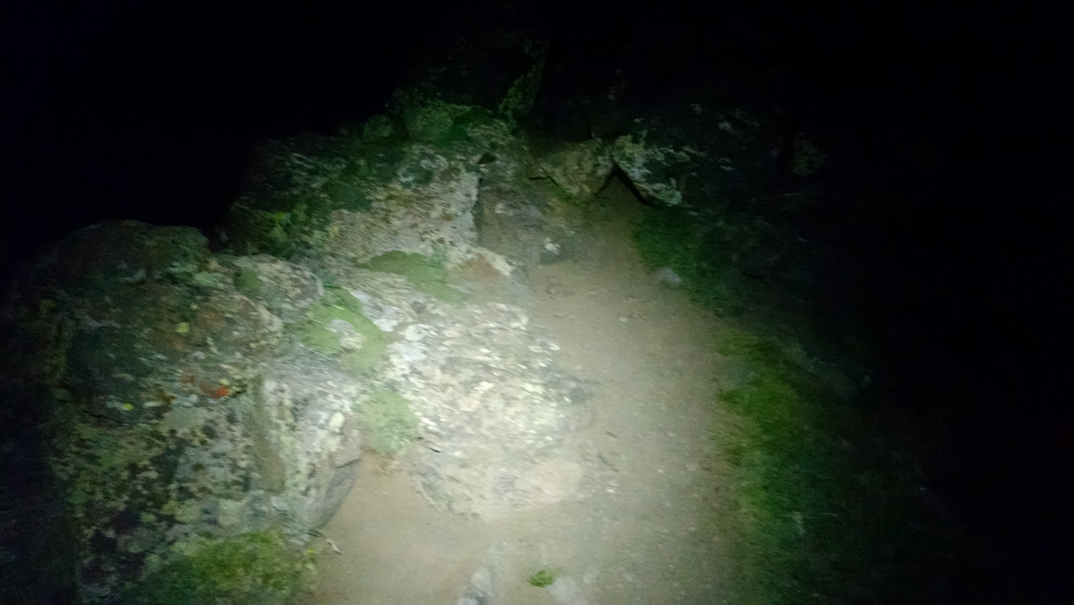
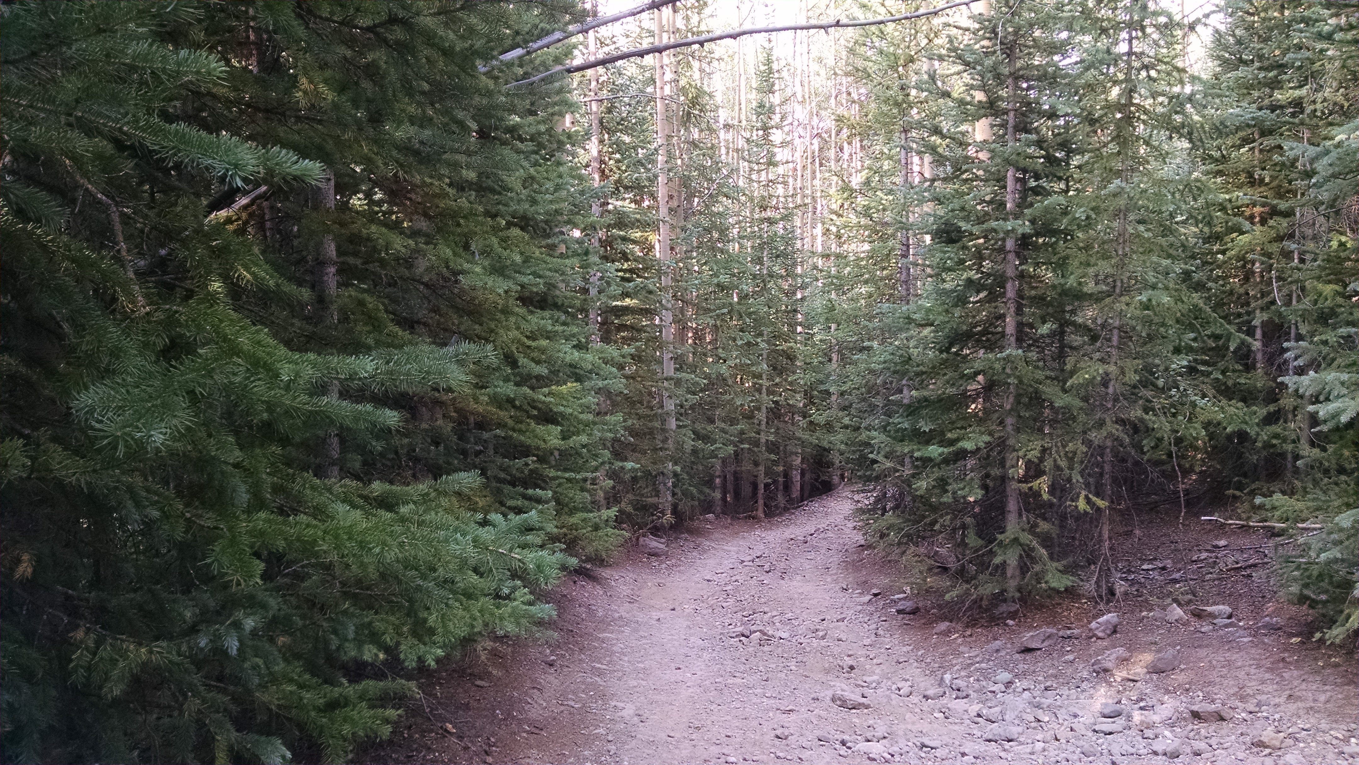
I spent the night in various stages of repose, as usual not able to fall asleep very easily. During one of these stages, I checked the time and saw it was almost time to get up. Unsure, if I had slept at all, various memories of insane nonsensical alpine dreams reassured me that sleep had crept in. I ate my breakfast and got dressed inside my tent out of a desire for coziness. I prayed that the pop-tart crumbs would not attract any of the friendly rodents into my tent while I was away. The near-full moon beamed down on the open meadow of tundra as I set out, calling into question the need for a headlamp. I wore it around my brow but did not turn it on. Headlamps are a wonderful way to see what one is doing, but they focus the user’s attention on their immediate surroundings. I would have been able to more clearly watch my footfalls, but my eyes wouldn’t be adjusted to the dim moonlight (which was doing a pretty good job of illumination on its own, in defense of the moon). As I crossed the meadow, it was much more enjoyable to watch my moonshadow than to eradicate it in the name of “full brightness”.
The near-full moon illuminating my path
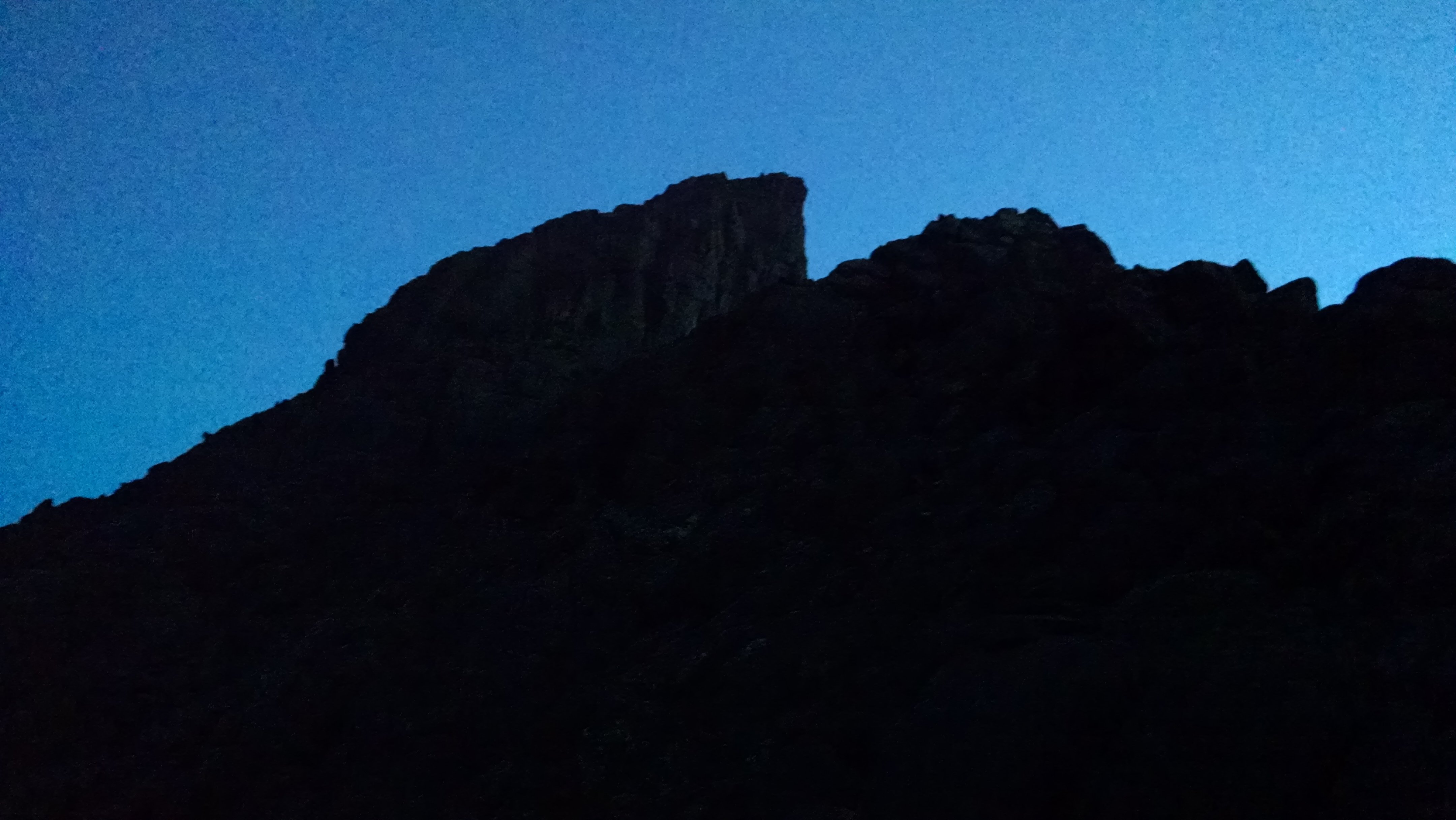
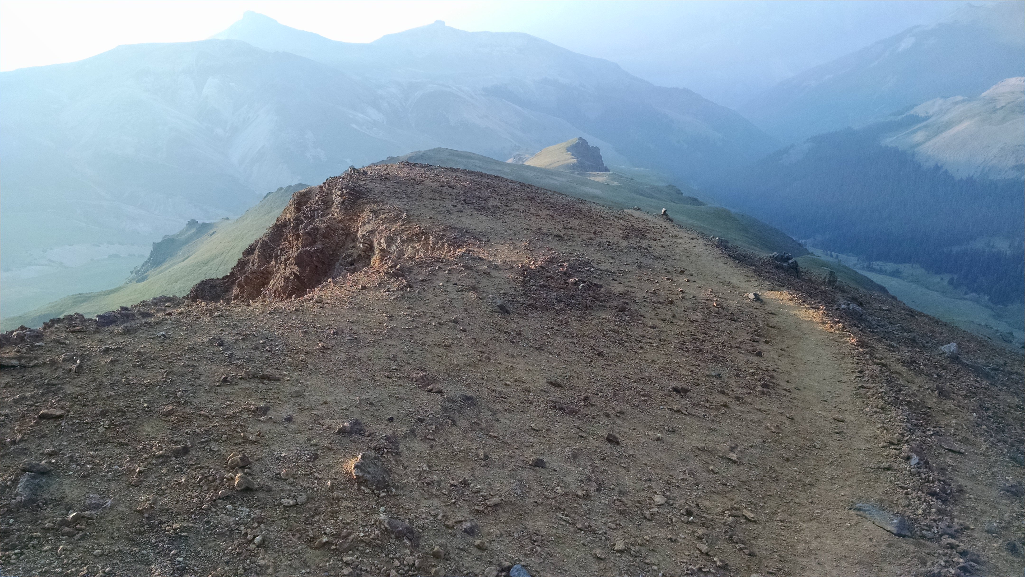
I switchbacked up the trail, through a few stone steps, and found myself on Wetterhorn’s shoulder. The first few photons of sunlight shot my way across the plains from the east, passing over the surface but moving back up toward the sky as the Earth’s curvature came into play. In the sky, the photons met the smoke from the California wildfires, and they scattered back downward, trapped and unable to pass again into space. Back on the ground, my eager eyeballs caught a few of these doomed red photons and watered. My photography skills were insufficient to capture the otherworldly atmosphere at this time of morning, turning up black image after black image. Oh well.
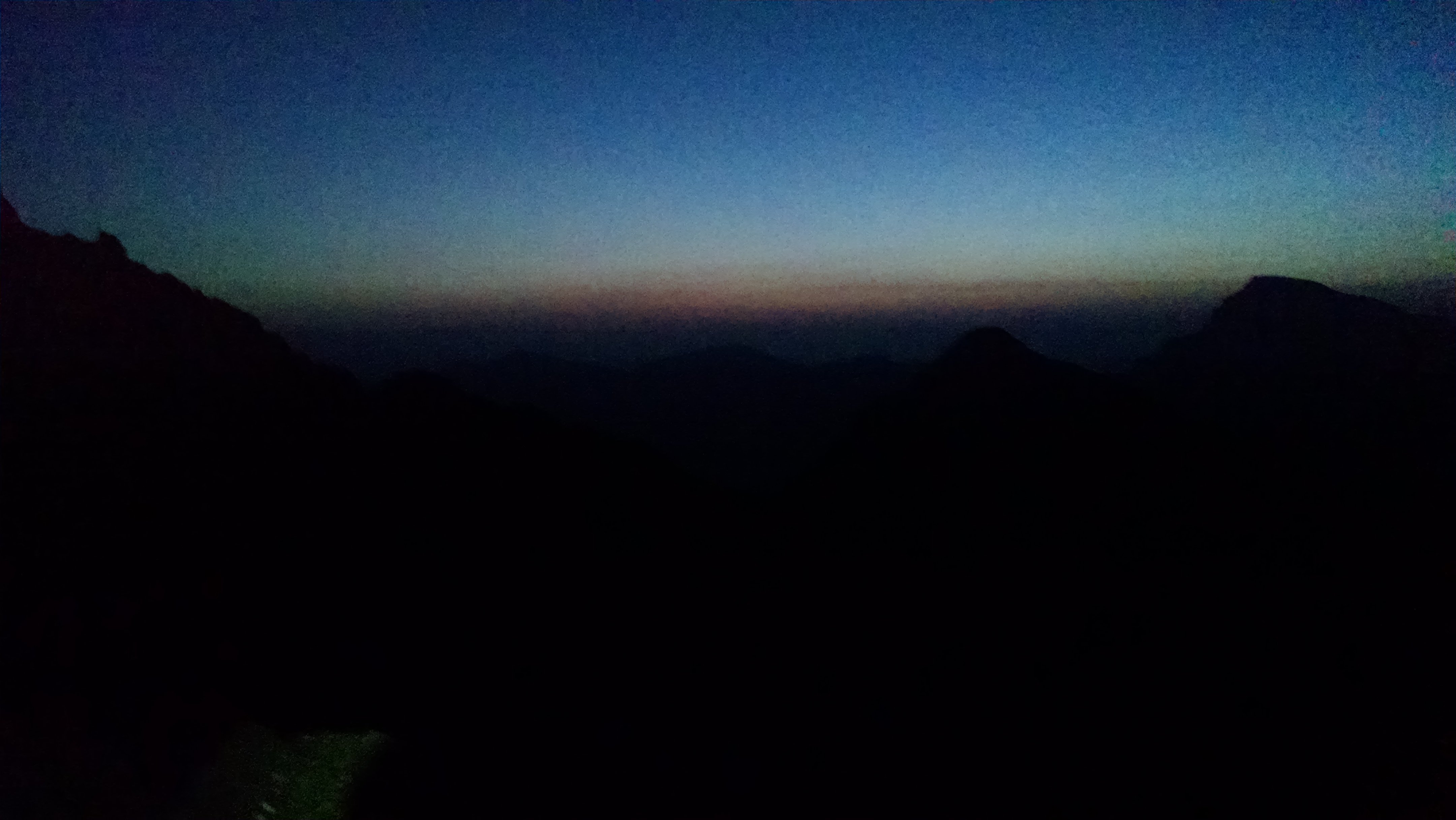
The first glow of daylight
Wetterhorn’s summit cap does not permit the easy access that the alpine meadow had allowed. The easy walk-up changed character gradually into a scramble. I took care not to rush, finally shining my headlamp for extra help finding the route. My previous forays into this type of hiking/scrambling called Class 3 have started to increase my confidence, and I found myself able to locate plenty of handholds I trusted. The climbing wasn’t super technical, and I could stay on two feet for most of it. There were certain moves that required handholds to pull up through notches, but I felt cautious rather than afraid. I continually consulted the route as I went; I use a GPS app on my phone which displays my location on a map overlayed with my intended path for the day. I believe I would make do with a lower level of technological assistance, but I’m not one to turn down such an easy-to-use system. After all, my goal is always to enjoy the mountain as much as my safety allows. And this app increases my safety, increasing my freedom. I don’t lean on this route overlay too heavily – I study the route ahead of time, so I know exactly where I’m going and what my moves will be when it’s time to hike or climb, and I bring a physical map in case my technology fails.
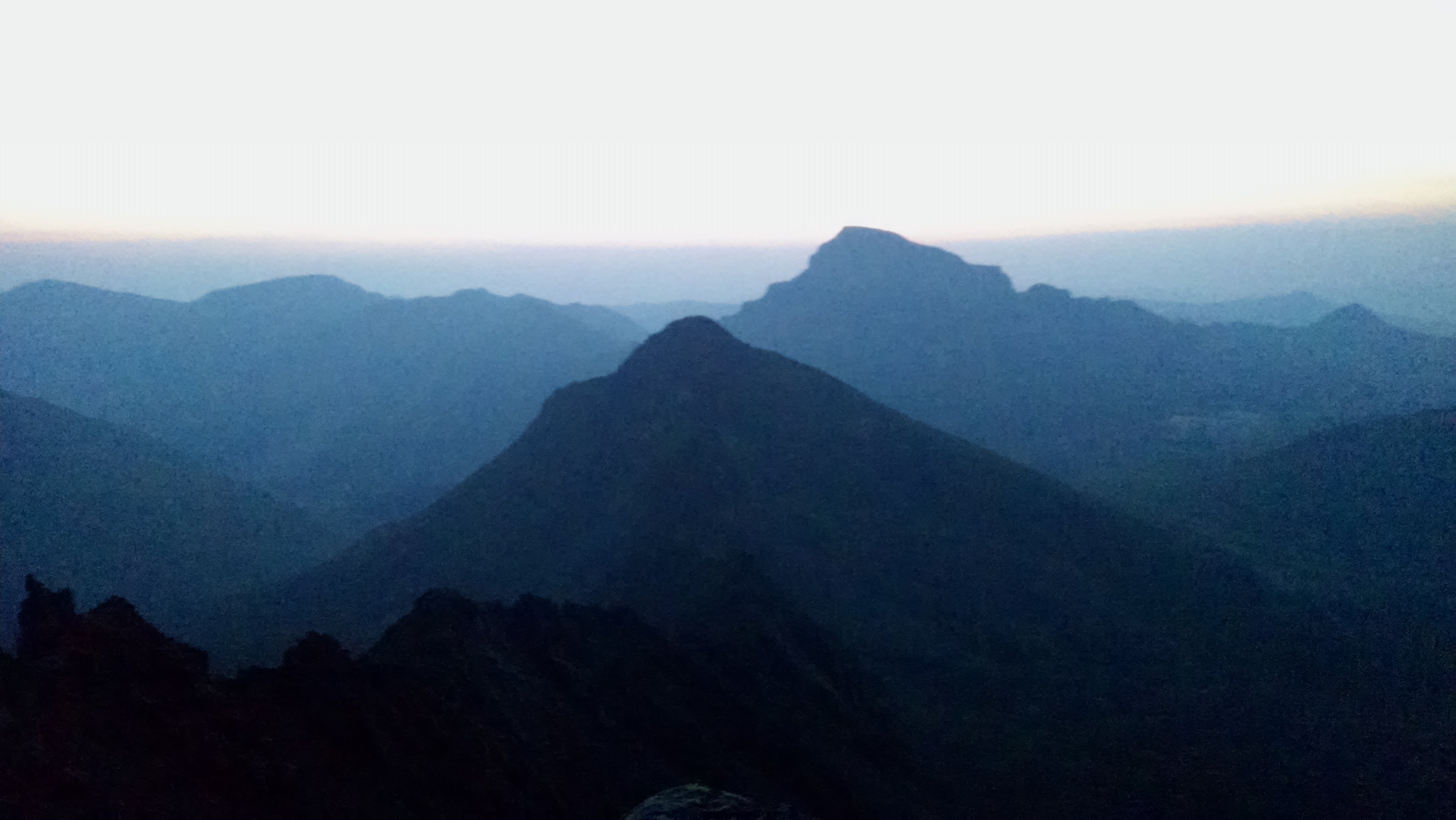
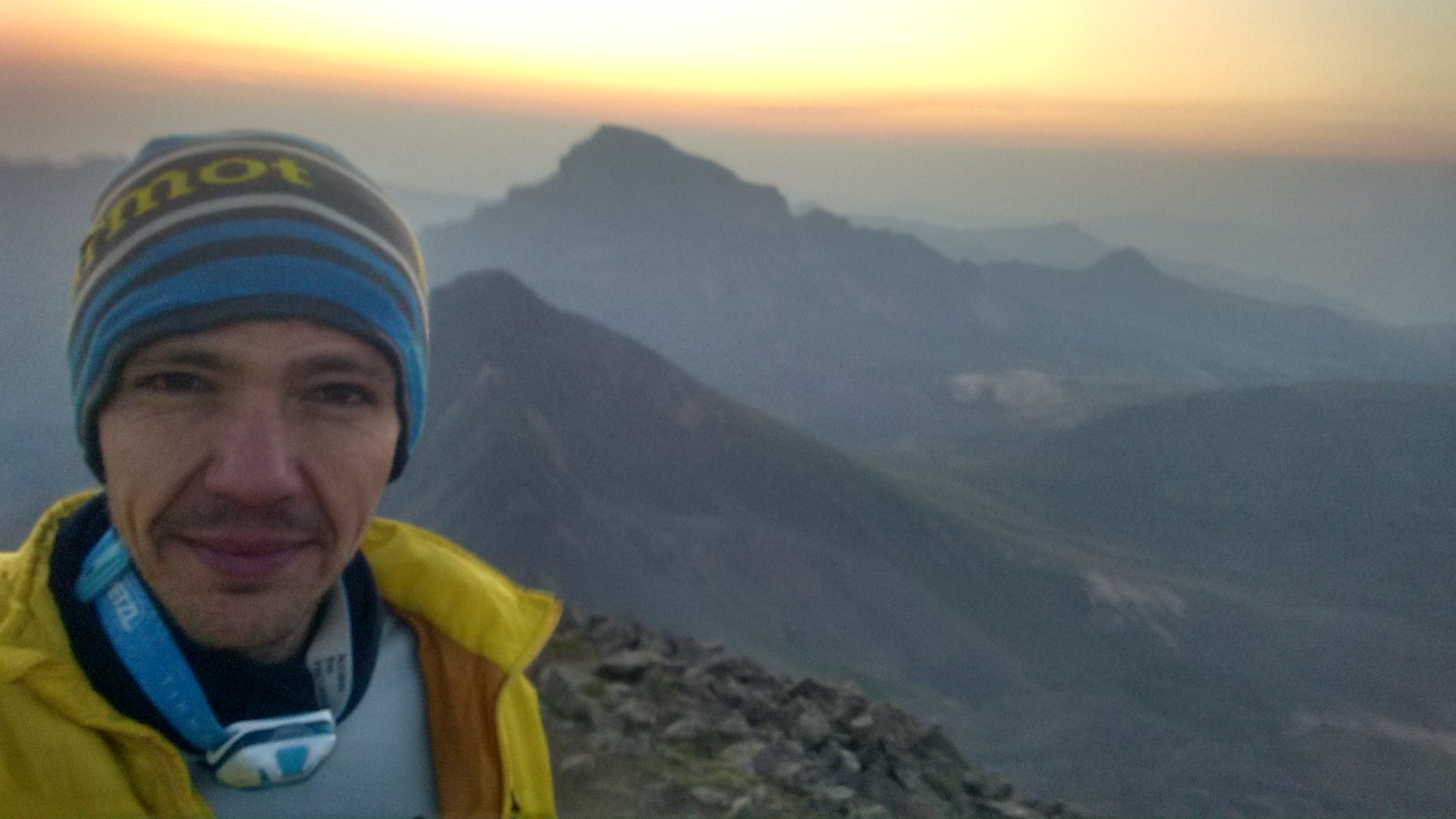
Pre-dawn light on Matterhorn Peak (foreground) and Uncompahgre Peak
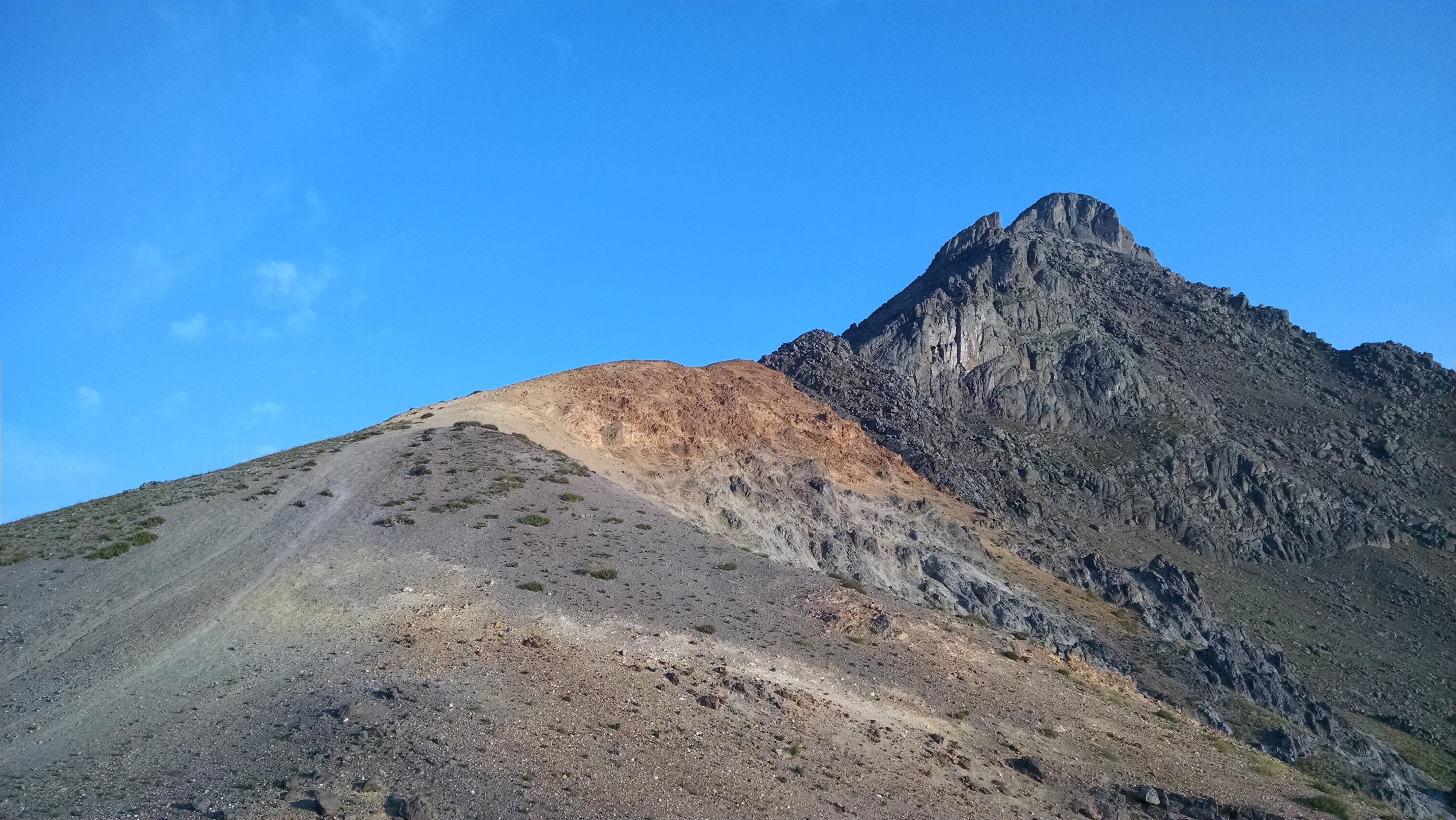
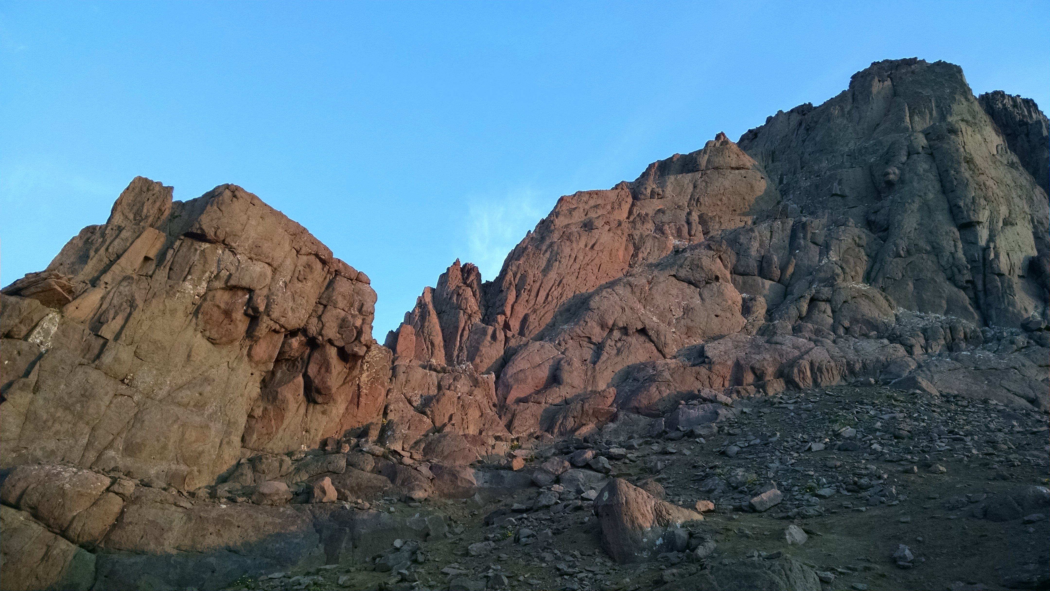
The sky shone red as I peered up the final stretch of steep climbing. This was the crux of the route, if you want to call it that. Perhaps 50 feet of scrambling that approaches verticality, laid out with ledges to take a rest. I made short work of this feature; climbing upward on manageable terrain isn’t too scary or hard, and the peak was calling out to me loudly.
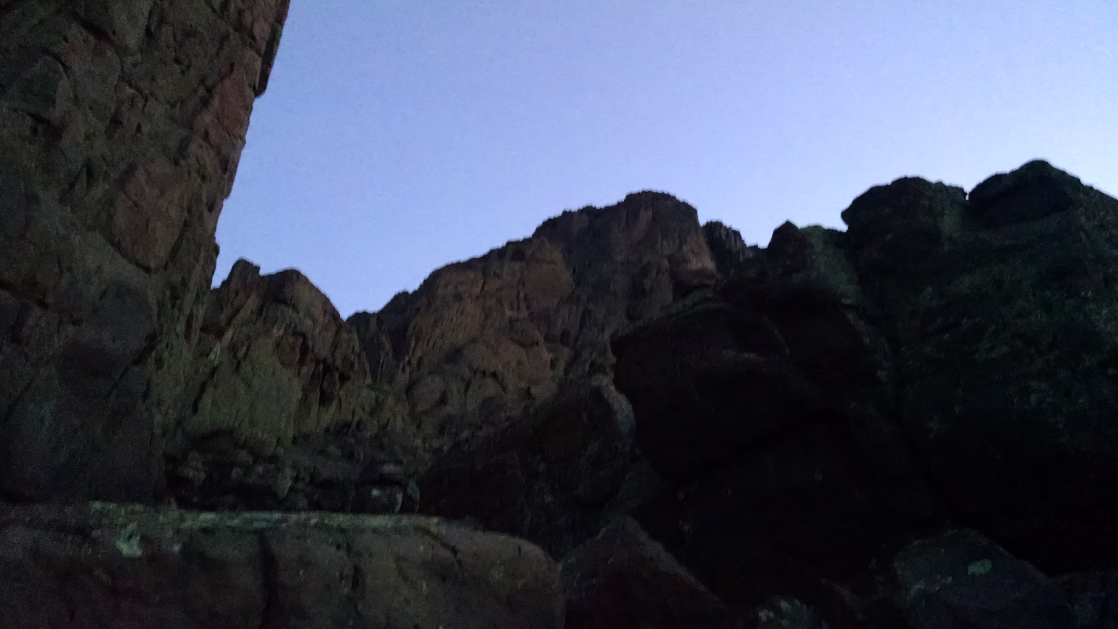
Climb through that notch to get to the crux
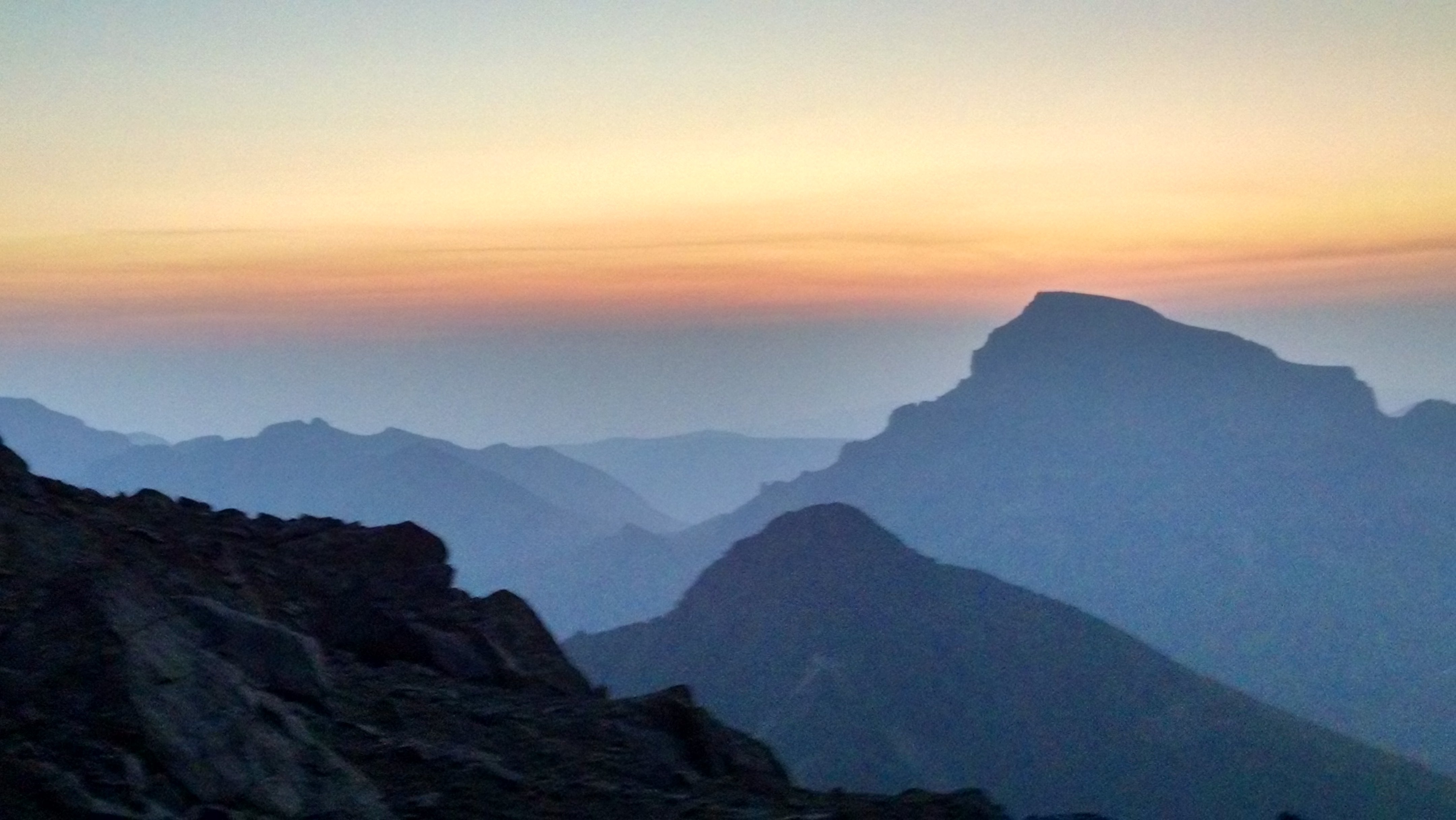
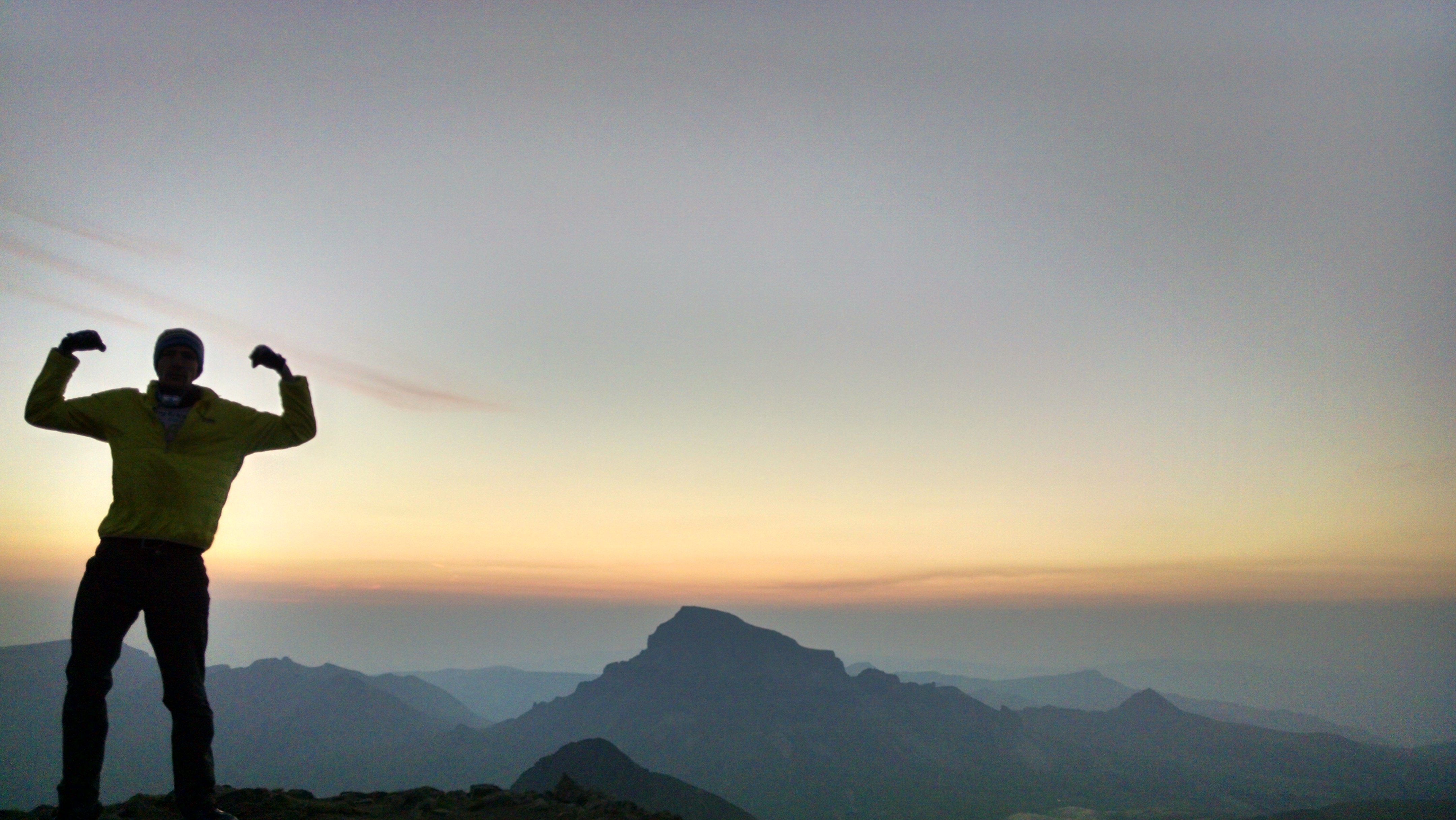
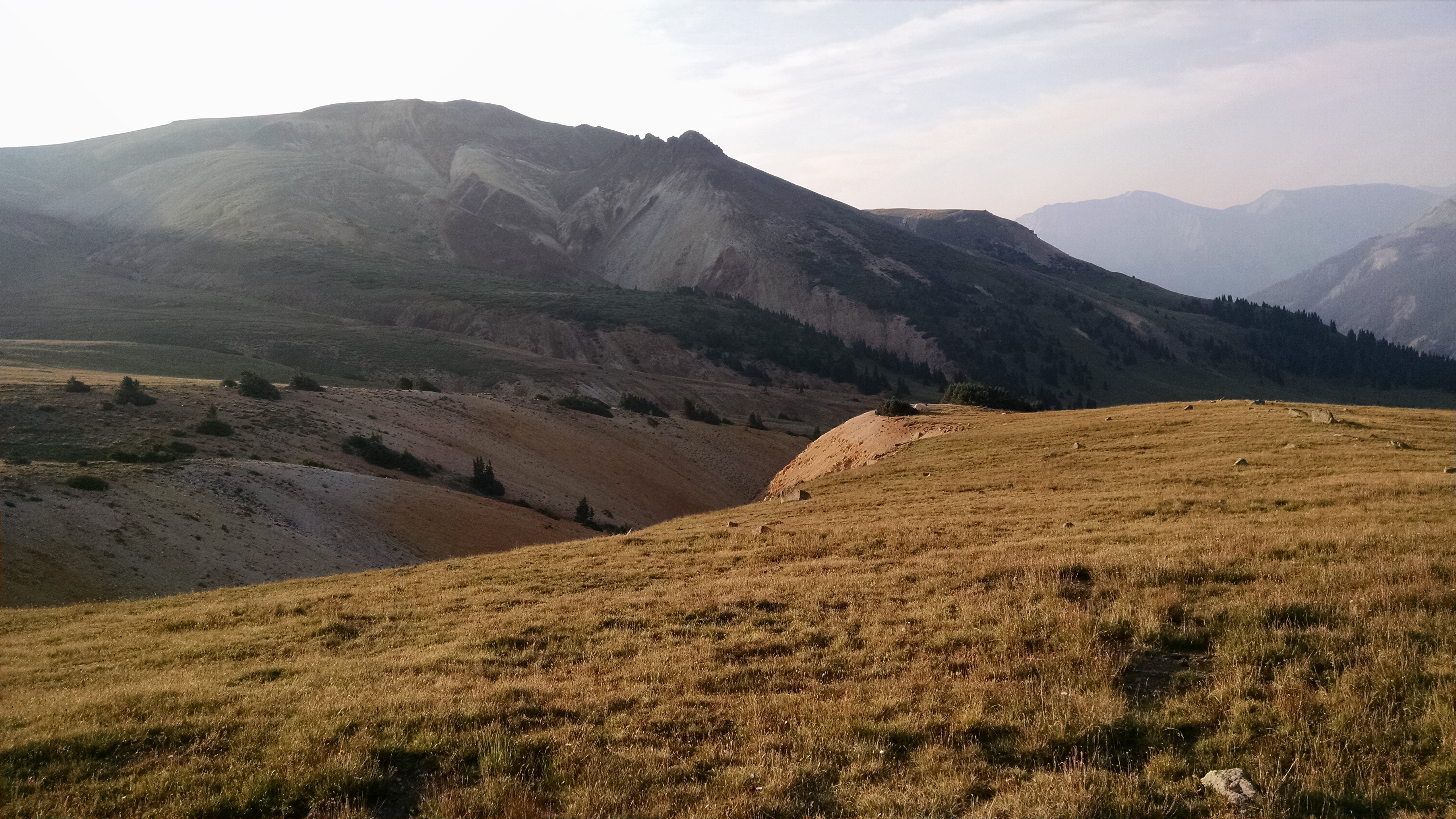
The small summit area was still the largest piece of flat ground I had encountered in a while, and I sat down to duck out of the light wind, take a rest, and take some photos. The pre-dawn glow was most intense behind Uncompahgre Peak, the highest mountain in the San Juans.
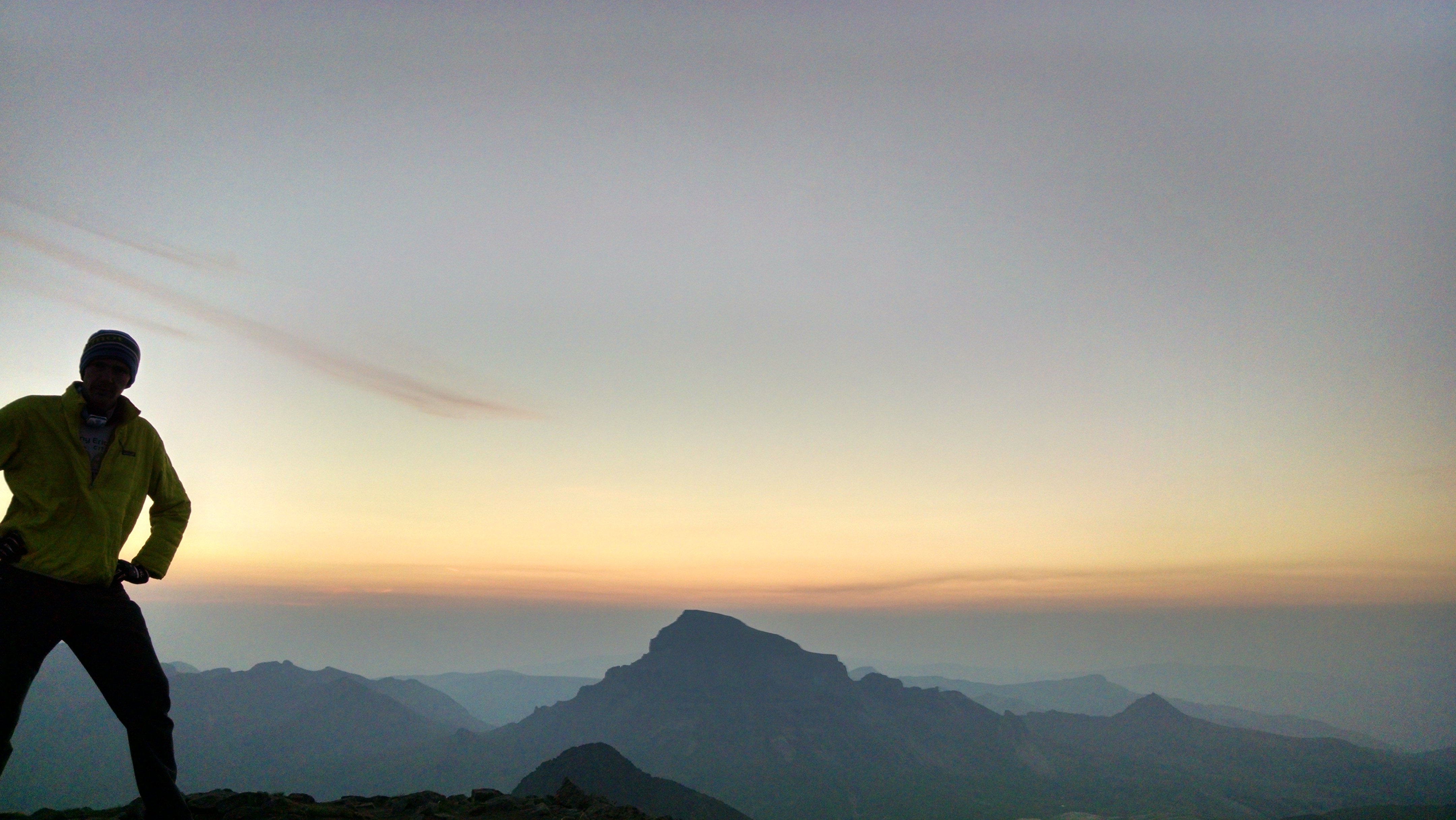
Self-timer pic in front of Uncompahgre's silhouette
I couldn’t believe my luck when the Sun appeared, finally and officially, as a dark-red ball visible with the naked eye. The smoke had reduced the Sun’s brightness to a manageable level. The same stuff I had been cursing the night before for reducing the visibility of the entire region was now allowing me to gaze directly into the Sun. I reflected on this, but not for long, as I was getting cold and my agenda was only a third complete.
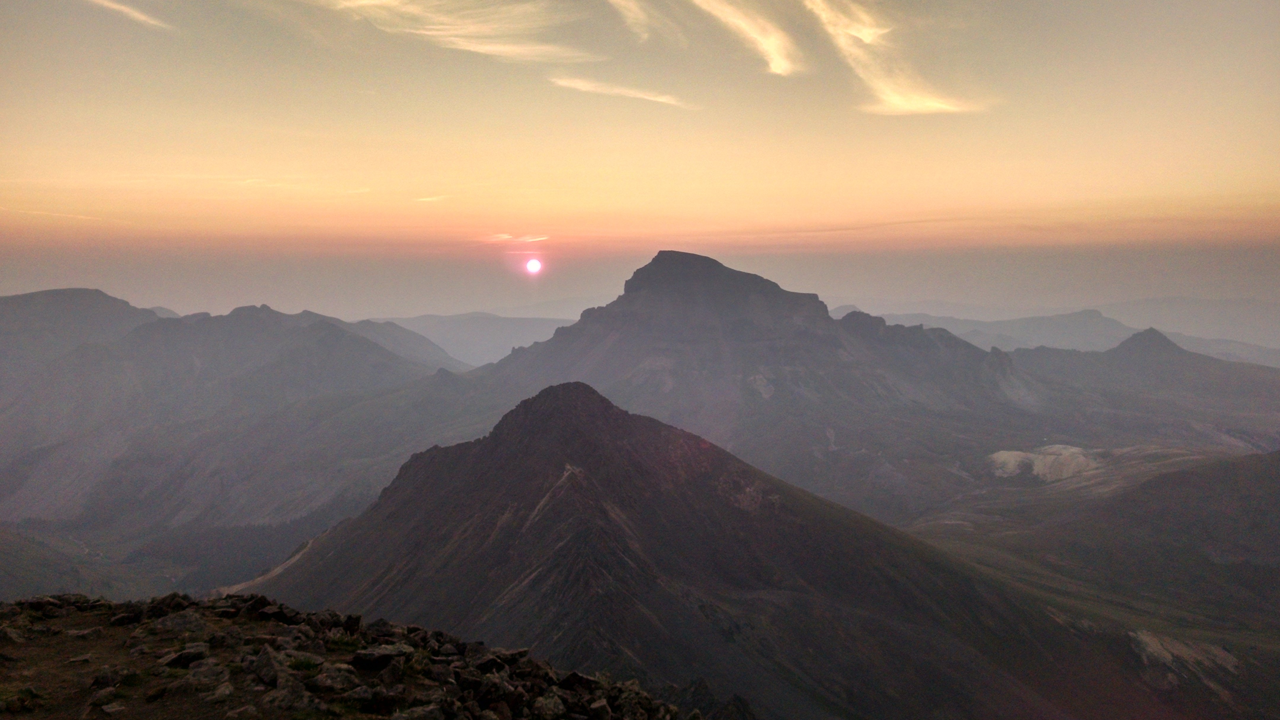
Uncompahgre sunrise
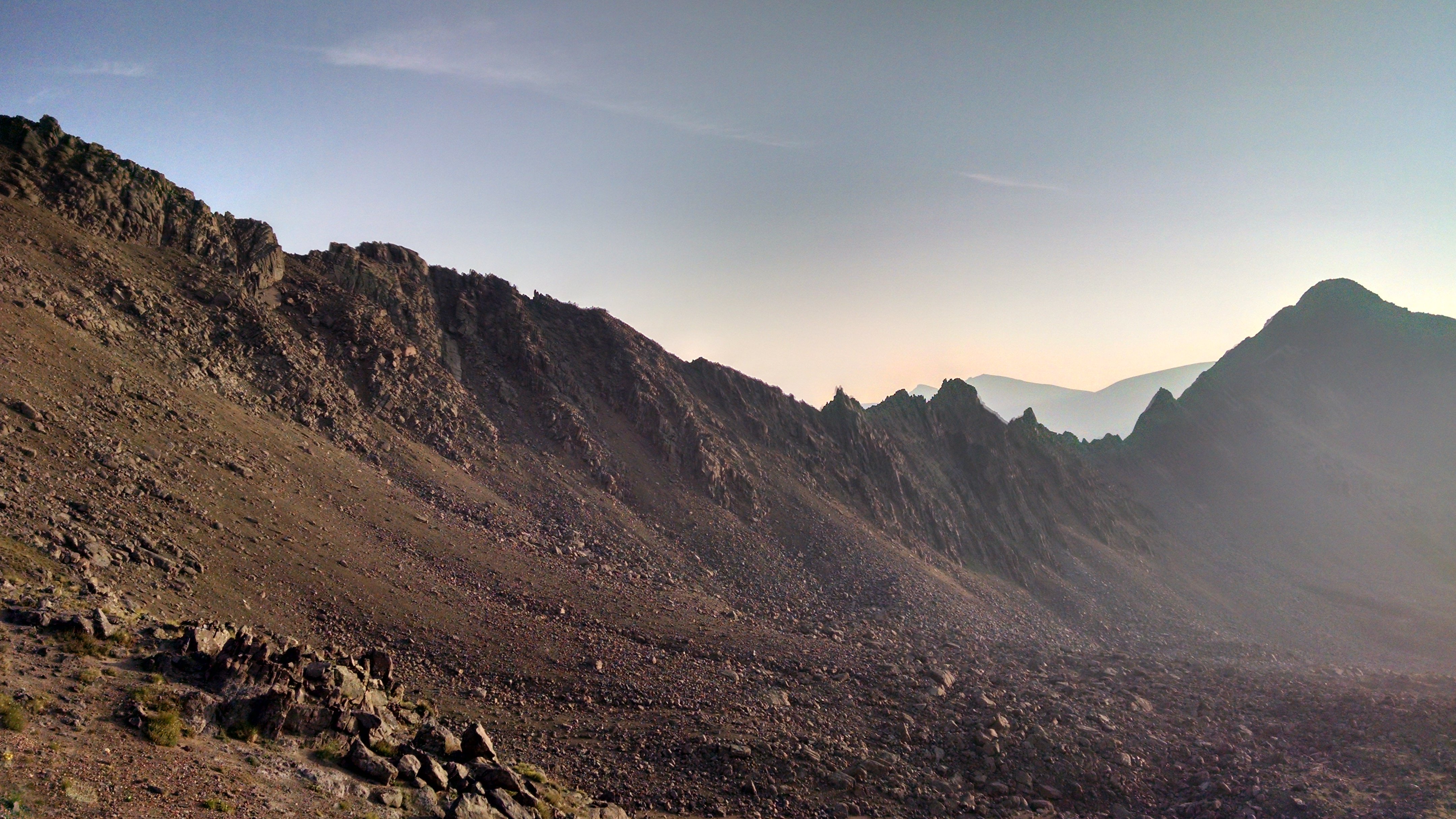
I hustled down the mountain as quickly as the terrain would allow. This meant going very slowly at first. I needed to re-descend the route’s crux, that near-vertical wall of stone. What seemed trivially easy on the way up had suddenly become very hard. Walking on two feet was definitely out; I faced the wall and put my hands against it, going down as if on a ladder. I took care to look at my next foothold and not much further; the exposure at this point meant that I would have been looking down the entire backside of the mountain (of course I looked, but it was a bad idea).
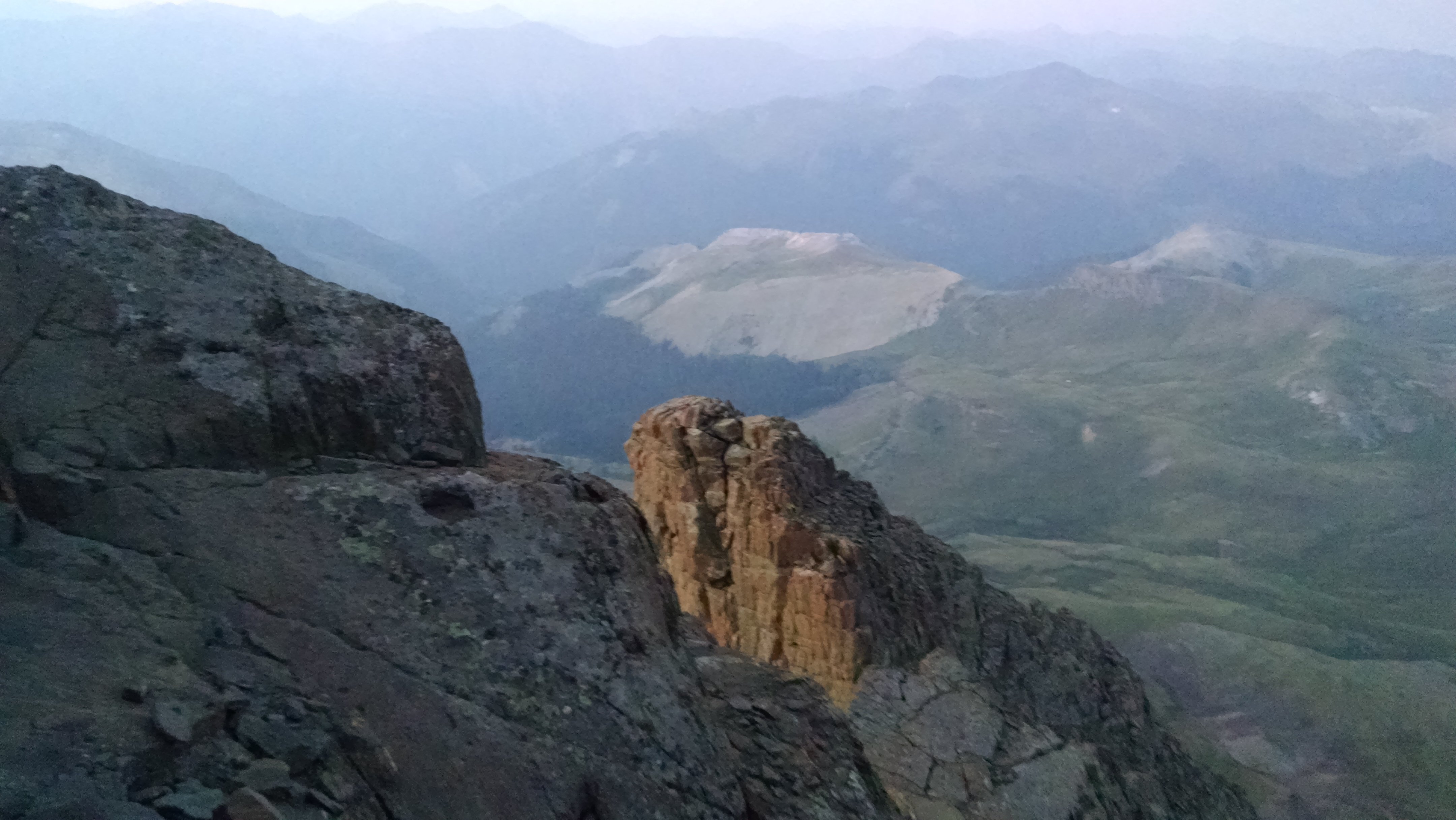
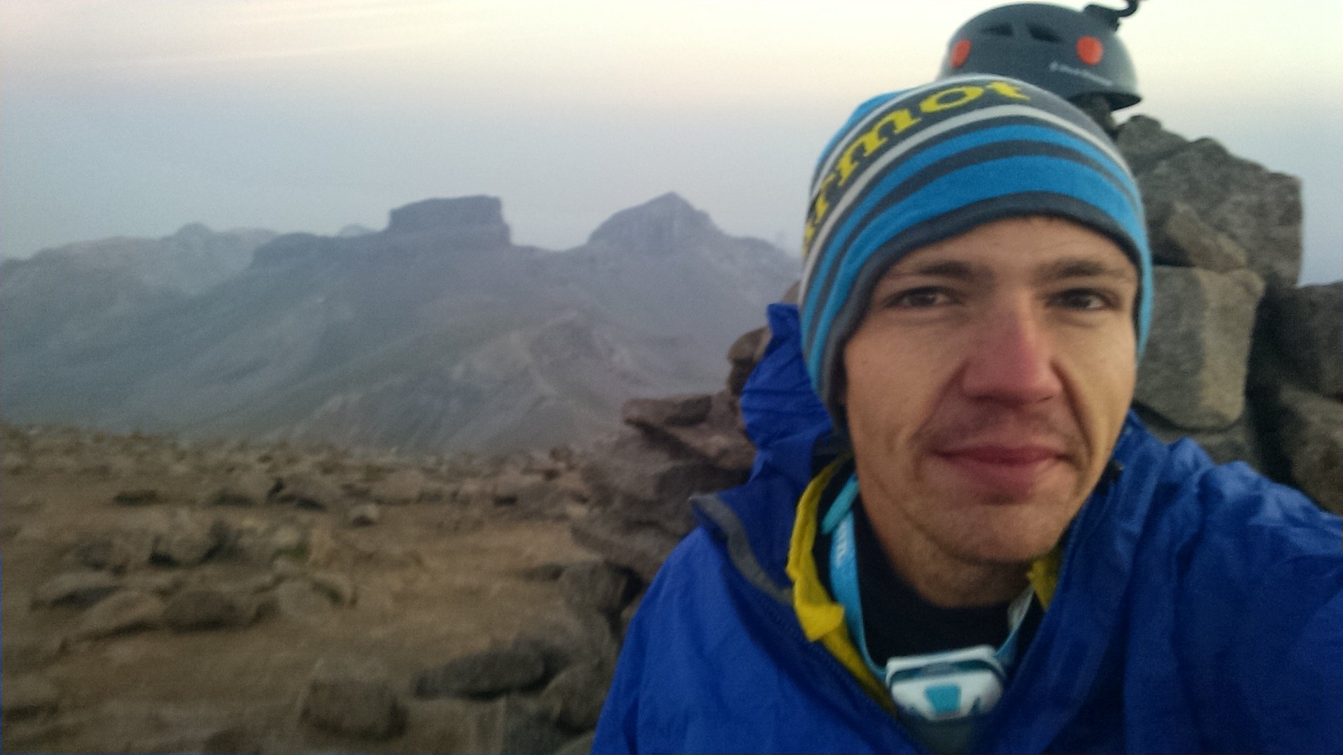
Looking at a feature called the Prow
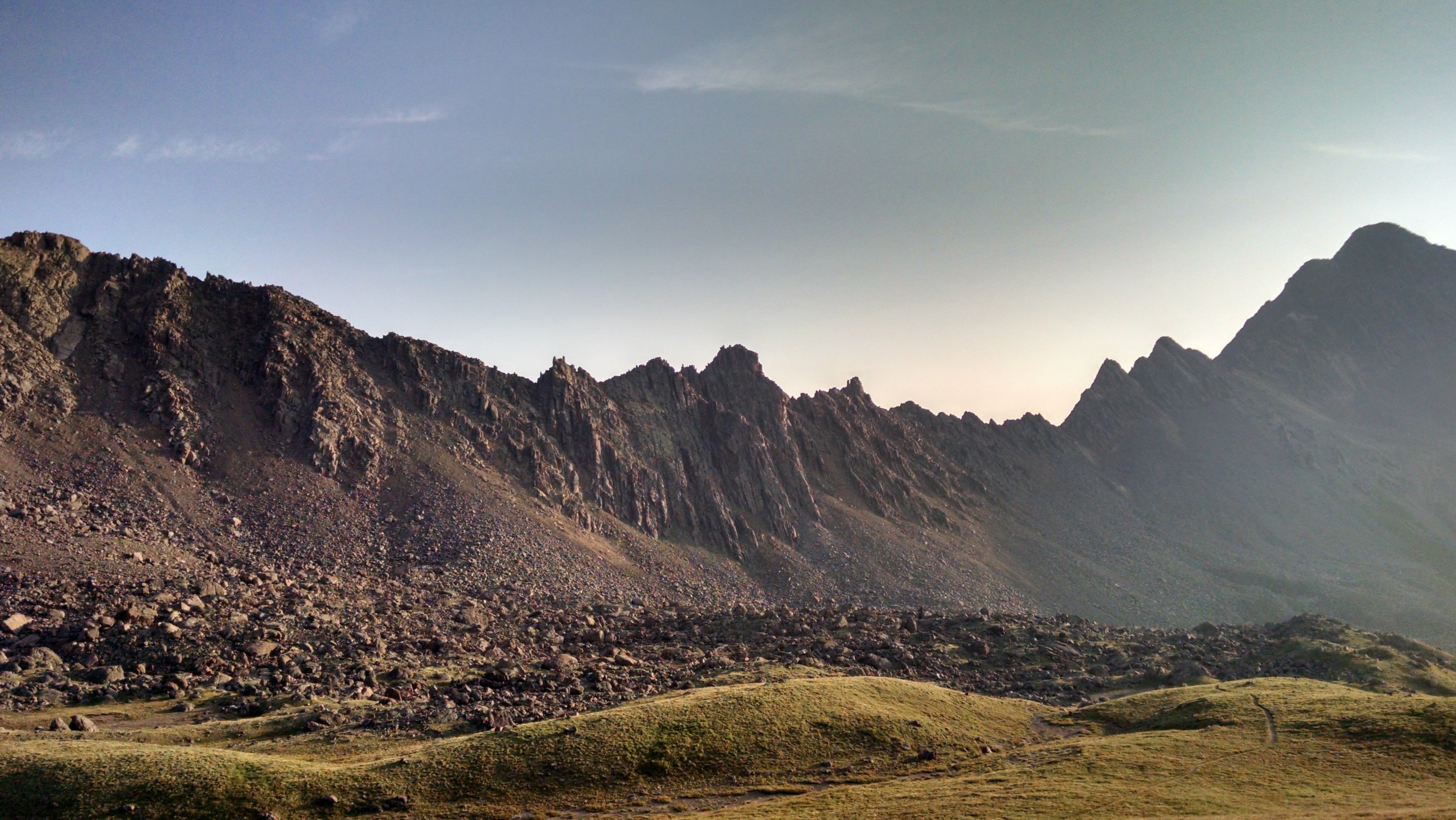
When my breathing rate increased, I would re-focus on the goal of finding the next foothold, the next resting point. I managed this fear as well as I ever have, and I was pleased. I reached the bottom of the crux, quickly scrambled over a large flat slab of rock and through a notch in the ridge, and found myself on the safer side.
Back to relative safety
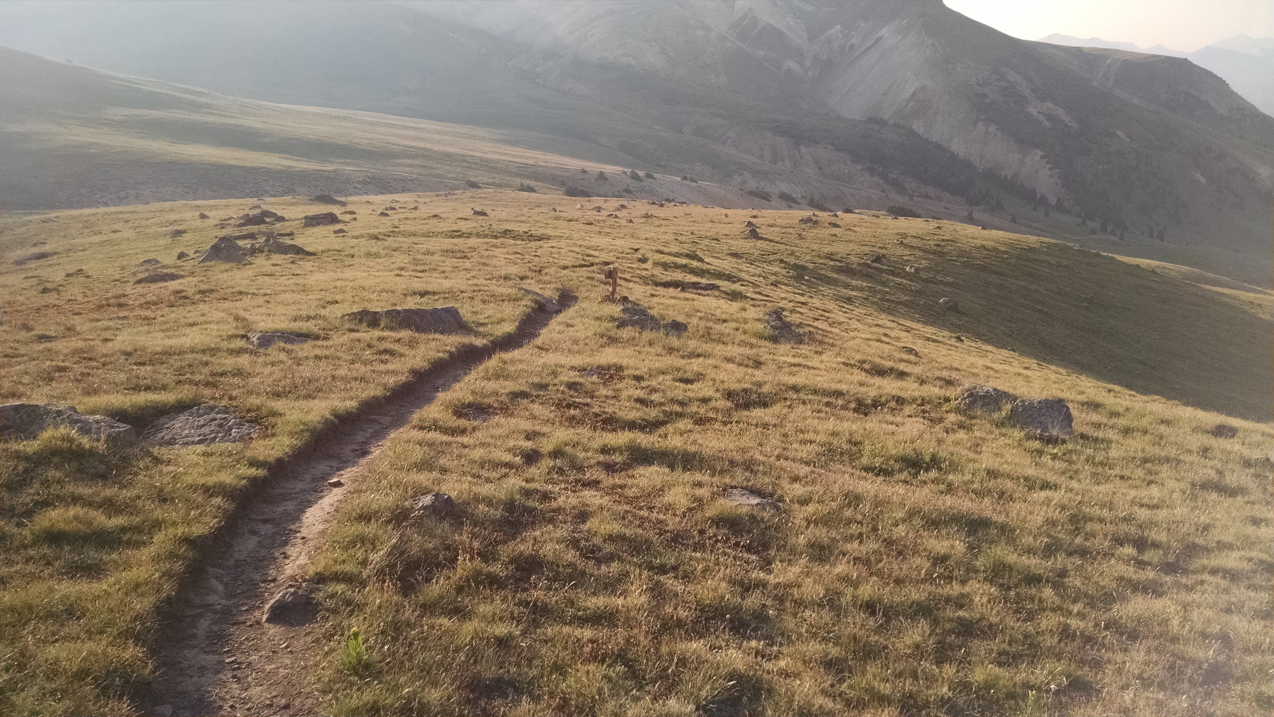
Extremely relieved and a bit cocky, I set off down the loose pebble-y slopes that formed the remainder of the technical climbing on the route. Taking my time again paid off, and I felt little fear. Coyotes called out across the meadows, I don’t know exactly where from. The San Juans are teeming with life on a scale I haven’t seen in Colorado’s other mountainous regions: fed by relatively reliable rains in the summer, grasses reach high on the otherwise-barren mountain slopes; deer and sheep graze freely; nearly every hole is inhabited by a rodent of some size; and inevitably coyotes eat well enough to call this their home in large numbers. I called back.
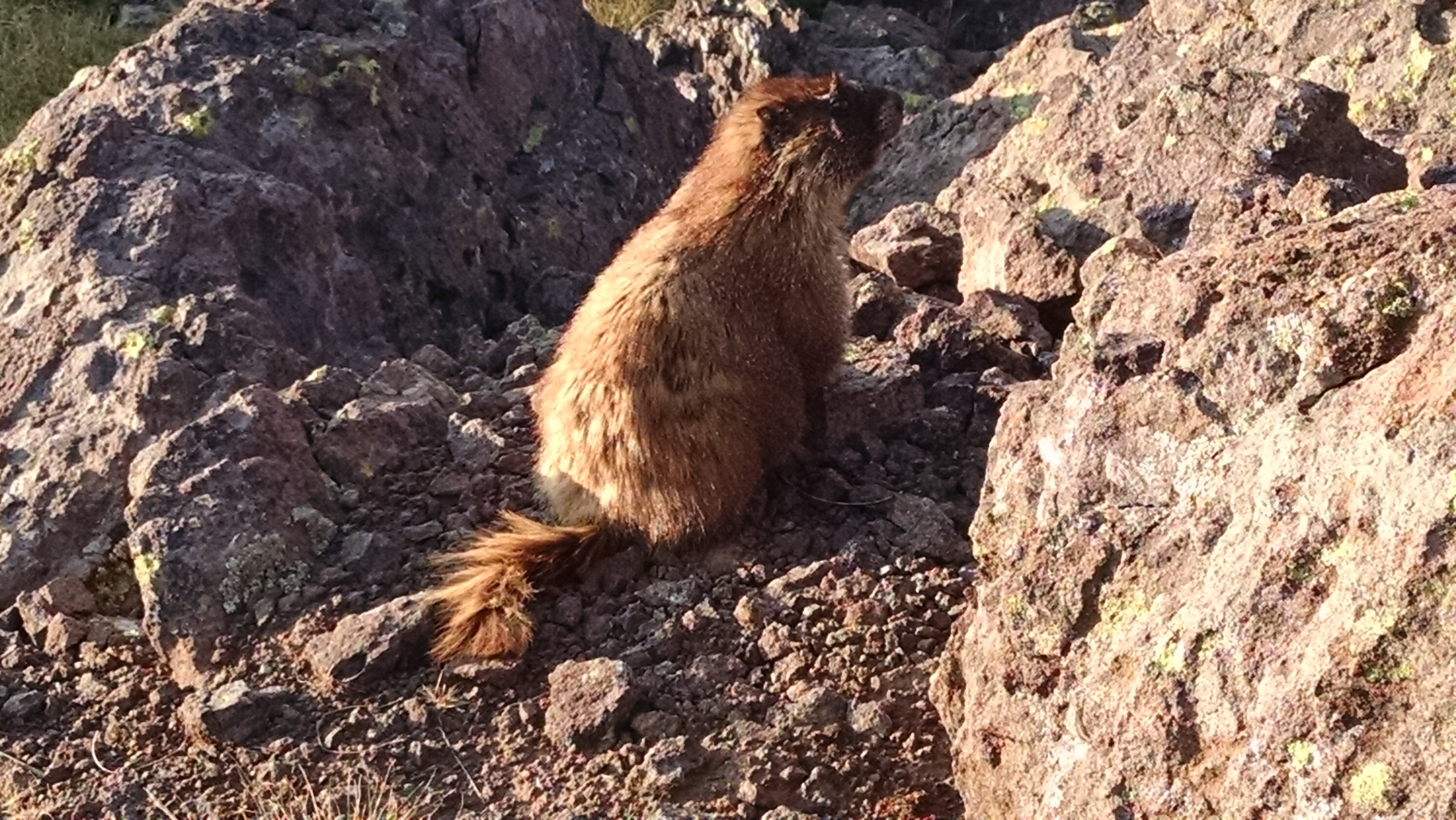
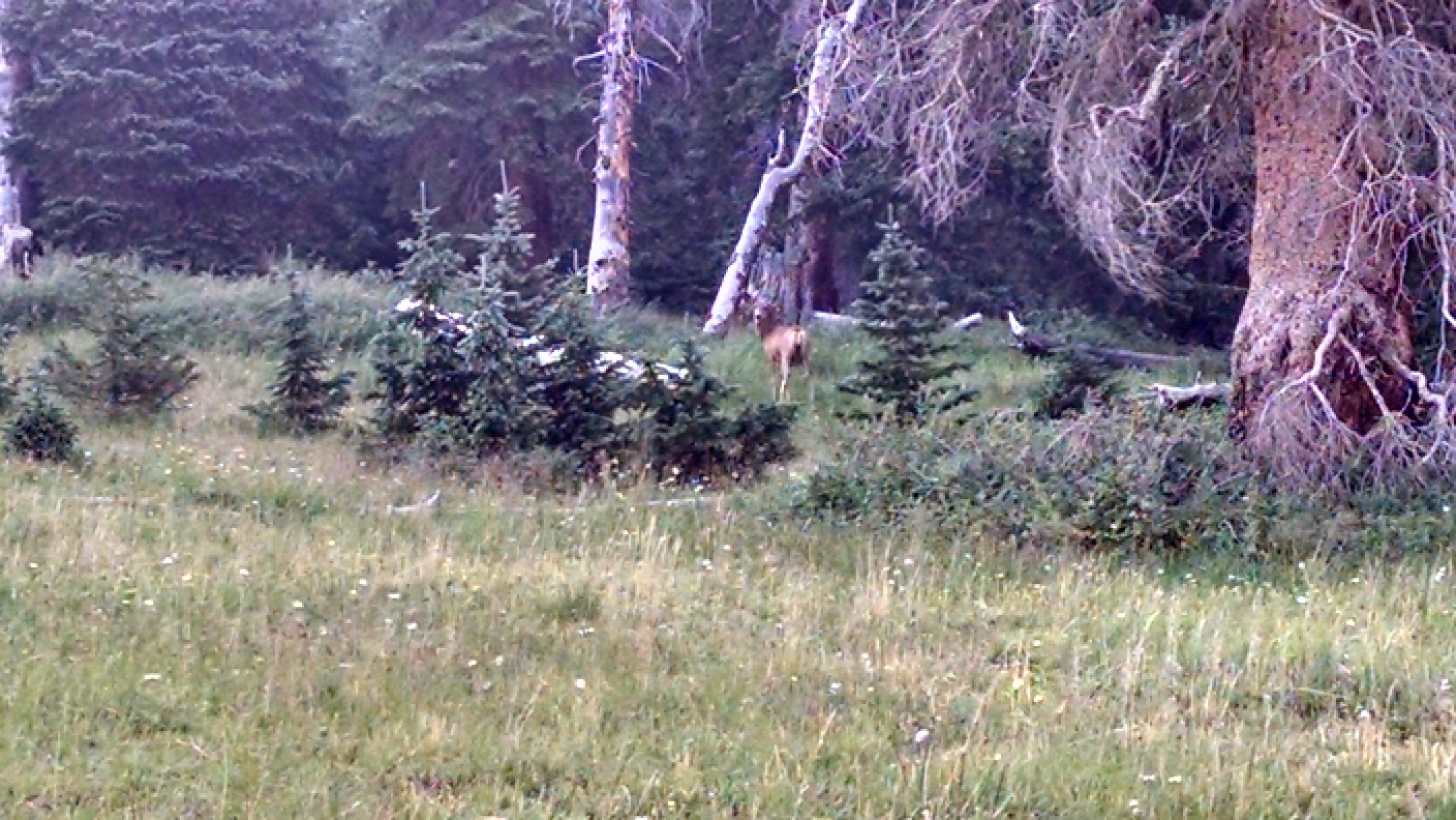
Closest I've come to a marmot
The more remote the hike, the more friendly the people. This is a near-universal rule. On popular hikes, the conversation stays shallow or doesn’t take root at all. “Heyyyy how’s it goin’? Good, good! Welp, haaaaaave a good hike!” I love human connection but that doesn’t really hit the spot. Out here, 6 hours from the state’s major metroplexes, things slow down. I chatted for upward of five minutes on multiple occasions. These folks seemed to have their own reasons for being out here. They were more seasoned than the 20- and 30-something crowd I had experienced on the Denver-proximal Grays Peak earlier this week. They could talk about different routes on all the state’s popular mountains, routes that afforded more of this thoughtful quiet time. They knew about the weather: today’s, tomorrow’s, the season’s, last year’s, last decade’s. They seemed to have a deep understanding of their relationship to the world from where they stood. They seemed to deeply enjoy what they were doing in the moment. I liked their style.
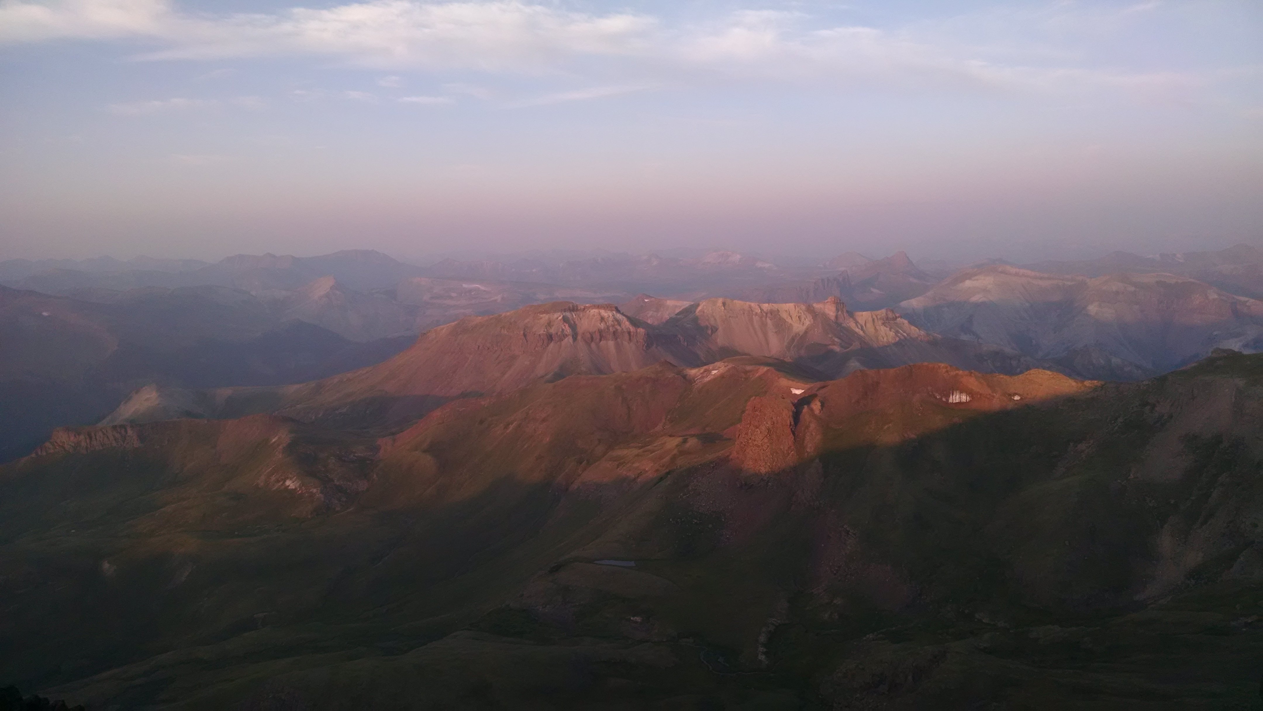
Sun dripping down into the beautiful valley
I had made a point not to rush too much today. I knew I would need to conserve time where possible, just to get everything done. But I wanted to take care not to let my hustling get in the way of my real enjoyment. I have been re-reading my Appalachian Trail journal as I transfer it over to this new blog, and I noticed myself hurrying too much, sacrificing time better spent connecting with others. I liked these people and all, but I had places to be! I started out on this trip resolving to do better, to give more time to other people and to myself. To be patient, basically. This approach paid off in spades; I really connected with a few people, learned about new trails and campsites, and even shared some knowledge about the route (“beta” in hiking jargon) with a man who was starting his hike as I finished.
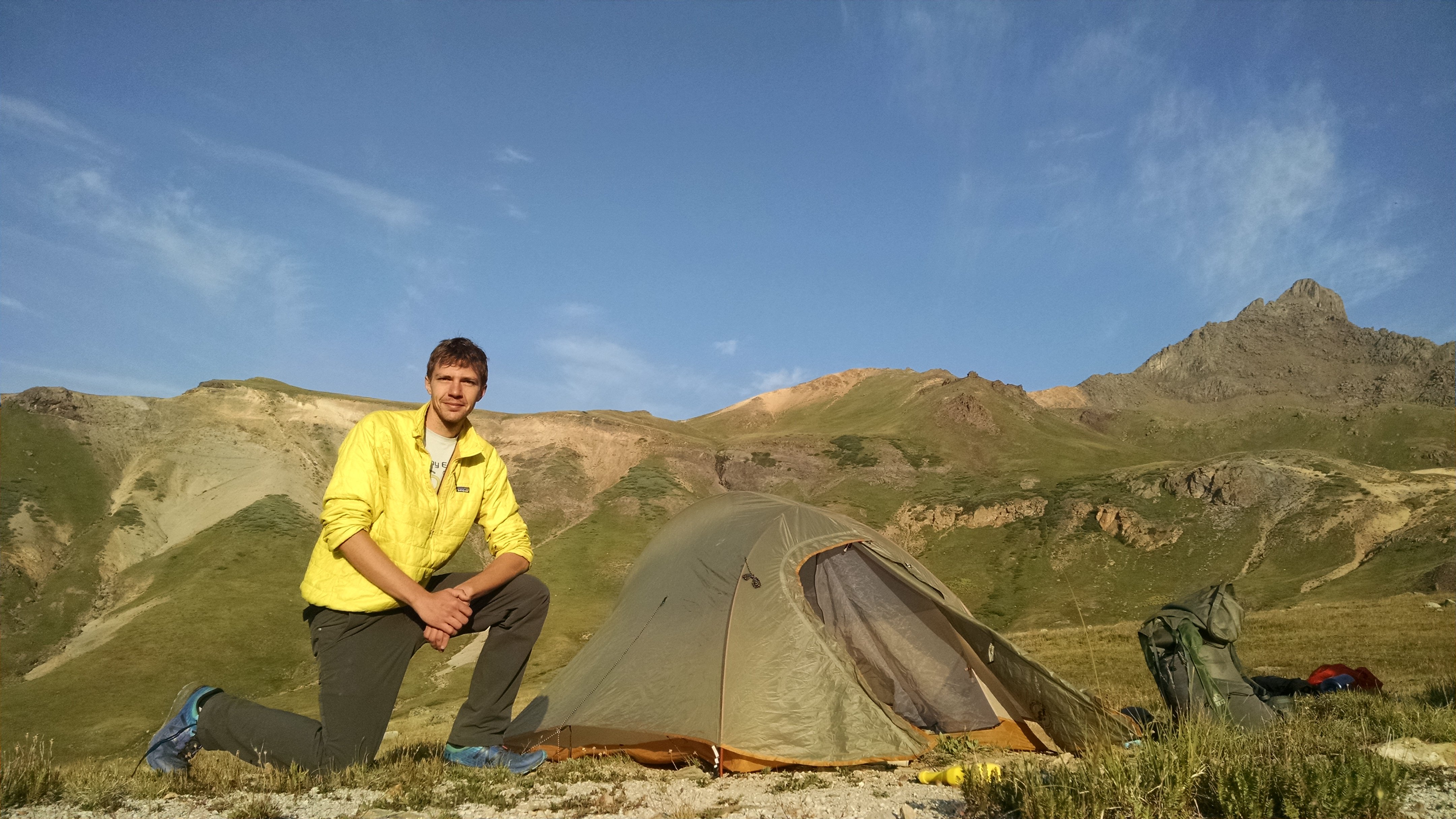
Taking the time for a campsite photo
I started to feel the same glow in my stomach that I felt on the Appalachian Trail. I felt at peace and connected to other people (these feelings can appear sparse at times in my life). I was a little surprised, actually. I think I believed this contentedness was only accessible after multiple weeks on a long trail hike. But here I was, on day 1/1 of this trip, tapping into that well. I was a little shocked to realize this experience has been accessible at all times, not just under a specific set of circumstances.

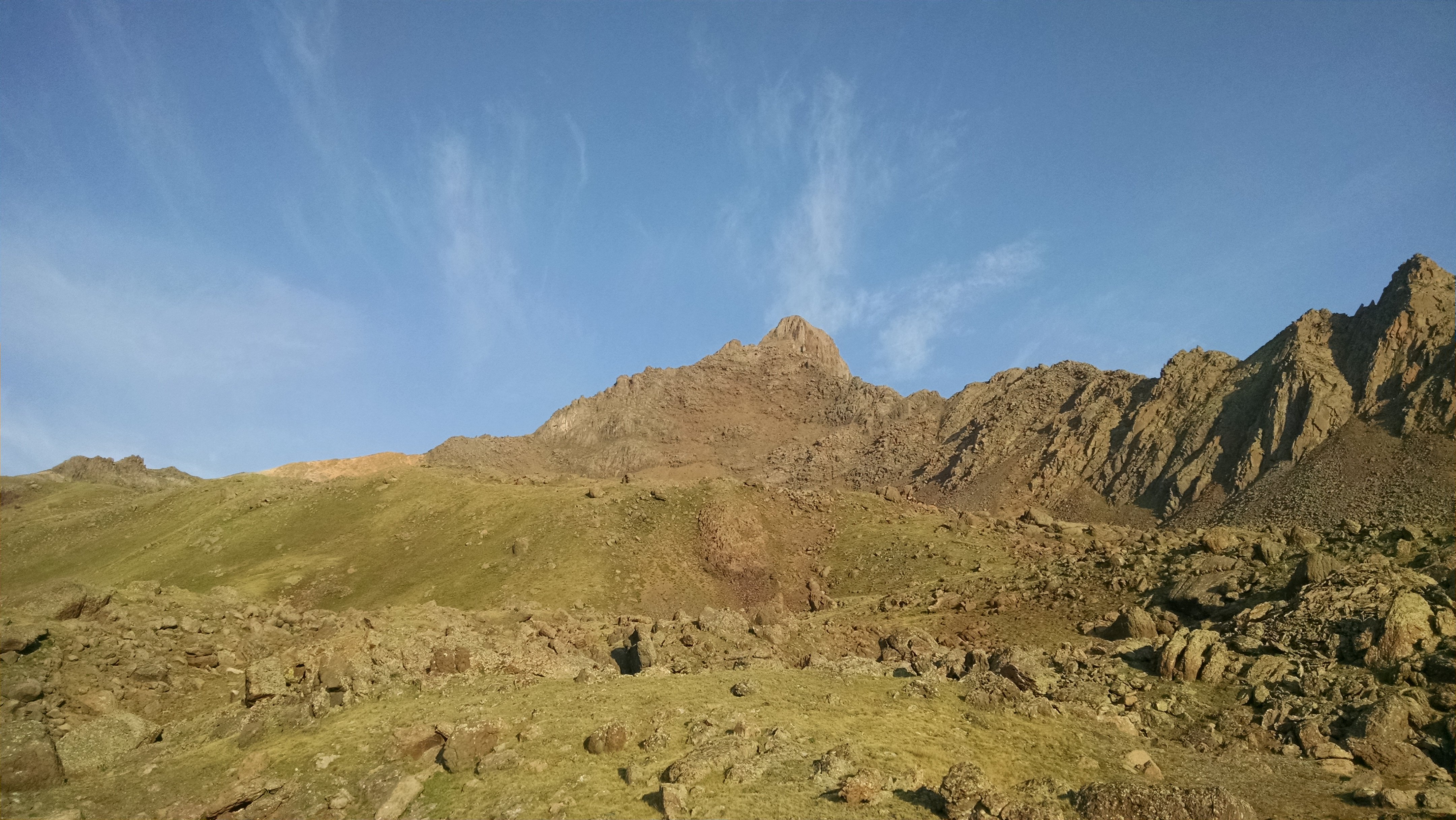
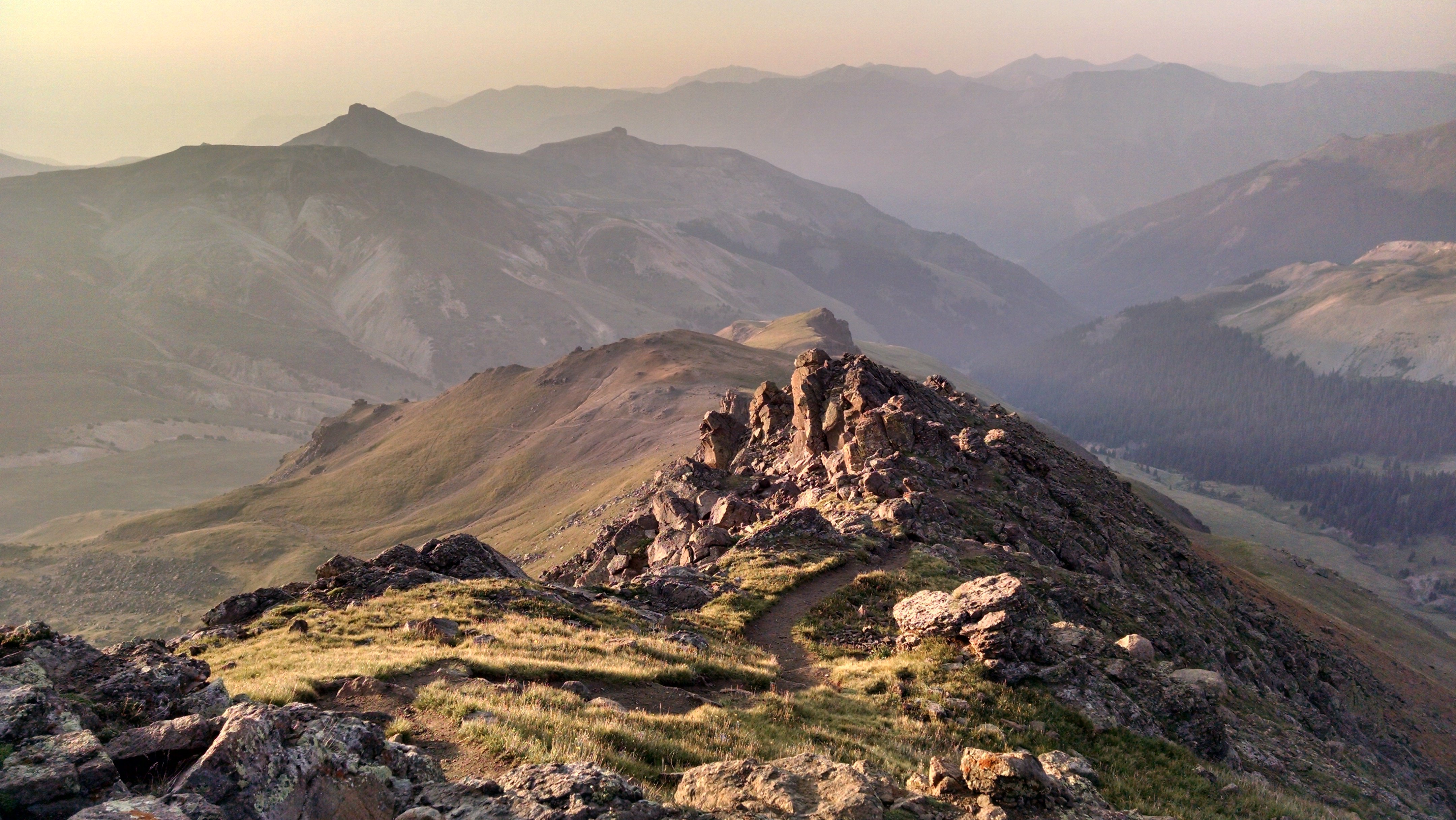
Wetterhorn presiding over the valley
Wetterhorn Peak was in my rearview mirror. I was standing in the meadow below it, in awe of its snarled beauty. But it was time to get back to the car and to move on to the next objective: two more 14ers, accessed from a different trailhead. I would learn that the sizeable rodent population had mercifully spared both my tent, and the inner workings of my car. Apparently, marmots and chipmunks love to get up in there and just start eating stuff. Many-a San Juan camper has returned to their vehicle only to find it won’t start after a marmot has spent some time under the hood. When I return to this area in the future, I plan on taking some preventative steps to increase my odds of an event-free trip. I got lucky this time. Regardless of risks taken, I was safe and headed down the road.
The near-full moon illuminating my path
The first glow of daylight
Pre-dawn light on Matterhorn Peak (foreground) and Uncompahgre Peak
Climb through that notch to get to the crux
Self-timer pic in front of Uncompahgre's silhouette
Uncompahgre sunrise
Looking at a feature called the Prow
Back to relative safety
Closest I've come to a marmot
Sun dripping down into the beautiful valley
Taking the time for a campsite photo
Wetterhorn presiding over the valley